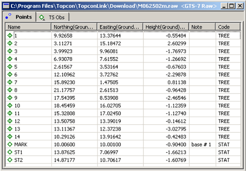
This specialized software is intended for processing information from Topcon GPS receivers. It is possible to view, edit and convert coordinate files.
Topcon Link
Topcon Link is a Windows application that allows users to import and process raw GPS data from the conventional Total Stations and TPS controllers manufactured by Topcon. There is support for TopSURV, GIS, TDS, XML and other file formats.
Data import
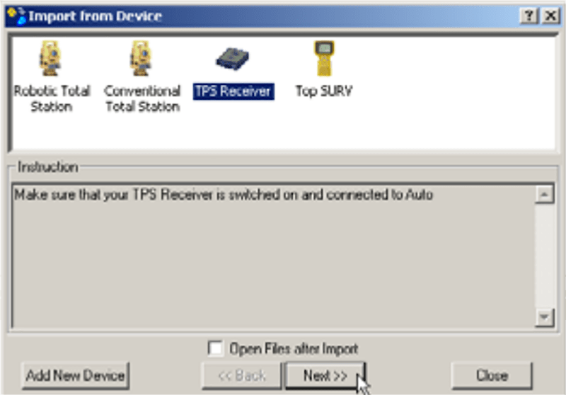
You can transfer information from the connected device by clicking the corresponding button on the main toolbar. The list of all detected Topcon hardware will be displayed in the new window. It is possible to customize the name and icon image of any GPS device. Moreover, there are flexible communication parameters like the baud rate and connection protocol.
After configuring all operation settings and specifying the target directory users can click the Next button to acquire the GPS data.
It is important to mention that Topcon Link is discontinued and no longer supported by the developer. There is no installation package available for download.
Coordinate conversion
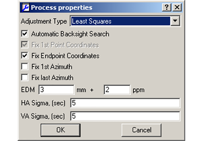
Like ExpertGPS, this program contains instruments for transforming raw GPS files into various common formats. It is possible to calculate orthometric heights by marking the corresponding checkbox. Geoid models can be constructed based on the converted coordinate data.
Features
- free to download and use;
- offers you tools for working with GPS information from Topcon devices;
- a coordinate converter is included;
- there is support for multiple common GPS file formats;
- compatible with all modern versions of Windows.


