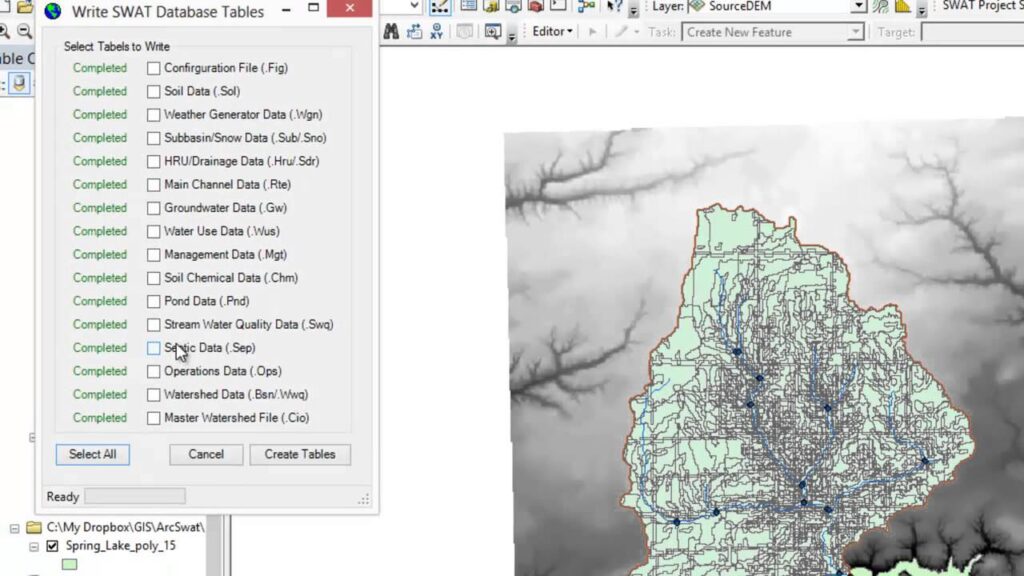
The research application enables you to perform professional hydrological assessments. Moreover, you can export and share your project data with other users.
ArcSWAT
ArcSWAT is a specialized program for Windows which offers features for watershed modeling and analysis. It comes in the form of an extension for ArcGIS software, ensuring that users can explore the impacts of climate variations and other factors from a familiar environment.
Main capabilities
The tool provides hydrologic and water quality modeling capabilities. It is capable of simulating processes like rainfall-runoff, erosion, sediment transport, nutrient loading, and more. These features are crucial for environmental assessments, land use planning, and decision making in water resource management.
The integrated graphical interface simplifies operations for GIS professionals. This means hydrologists and engineers can work collaboratively to create accurate watershed models. The global weather database may be downloaded from the official website for free.
Import and export data
In order to create input files, you need to format the data in Excel format and save it. Then you can open this file in ArcGis and export the table with the DBF extension. Alternatively, you may try a similar program called HEC HMS.
After finishing the work on a project, you can save and share it with other users. It is recommended to package the folder in ZIP format using utilities like WinZip, jZip, and 7 Zip. The next step is to transfer the files by email, to an FTP server or cloud storage.
Features
- free to download and use;
- compatible with modern Windows versions;
- gives you the means to create watershed models;
- you can import information from weather databases;
- program seamlessly integrates with ArcGIS client.

