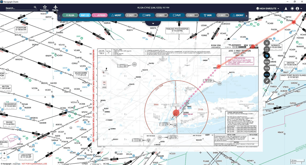
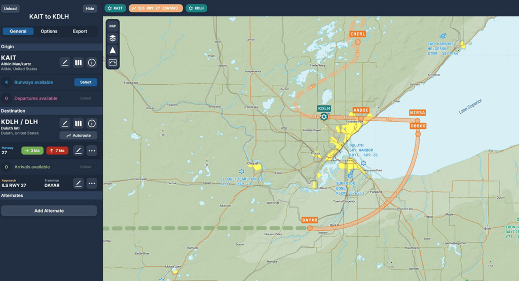
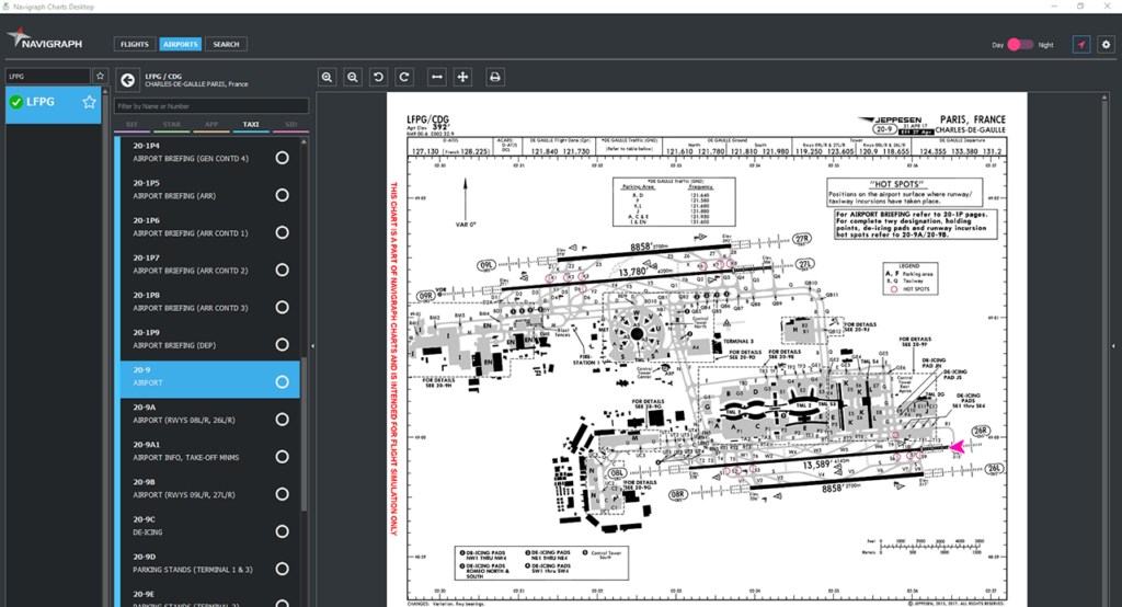
Using this specialized application pilots can access a vast library of navigation charts, covering over 7000 airports worldwide. There are interactive maps as well.
Navigraph Charts
Navigraph Charts is a Windows tool oriented toward professional pilots. It helps you plan realistic and efficient flight paths using accurate navigation data to ensure safe and timely arrival to the destination. Please note that Navigraph Charts is a paid program that requires a monthly subscription for accessing all features. There is no free trial version.
Chart collection
The utility allows users to review detailed terrain maps for any location on the planet. It is possible to analyze all aspects of aviation navigation, including VFR, IFR, SIDs and STARs. Tools for building complex routes through existing airways and airspace boundaries with confidence and accuracy are available as well.
Additional instruments
You can practice advanced flight procedures under realistic navigation conditions. Moreover, this software is capable of enhancing the VFR experience by combining planned routes with visual checkpoints.
Users are able to access current METAR reports and TAF forecasts for any airport. This functionality is helpful for getting weather information in a timely manner.
Navigraph Charts can be integrated with a wide variety of flight simulation platforms such as Prepar3D, Microsoft Flight Simulator and X-Plane. You can enhance the default experience with real world route data.
Features
- requires a license to download and use;
- provides detailed navigation charts for pilots;
- helpful for planning flight routes according to existing constraints;
- you can receive real time weather updates;
- compatible with modern versions of Windows.


