The application was designed to help users work with geography and topology data. Moreover, it is possible to integrate various relational database systems.
MapInfo Professional
MapInfo Professional is a program for Windows that allows you to process cartographic information. The tool is developed to be used in the construction industry, specifically for designing roads and electrical networks. You are provided with a wide range of instruments for collecting, organizing and analyzing data.
Pleasant interface
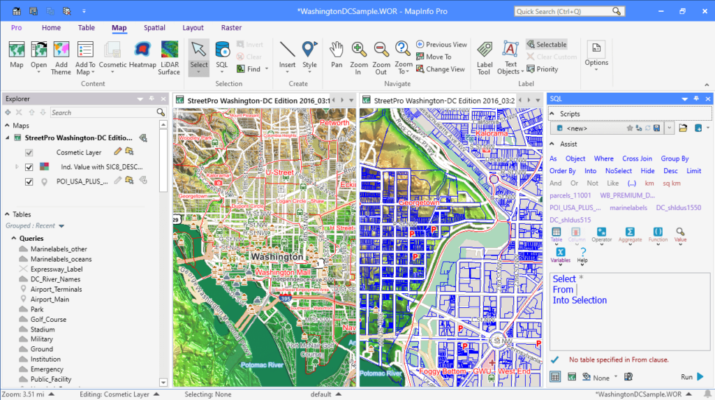
The graphical interface comes equipped with a simple layout and comprehensive menus. This means, you are able to easily access all the options from the main window. Its main goal is to increase the efficiency of infrastructure using and optimizing the decision-making process.
Create maps
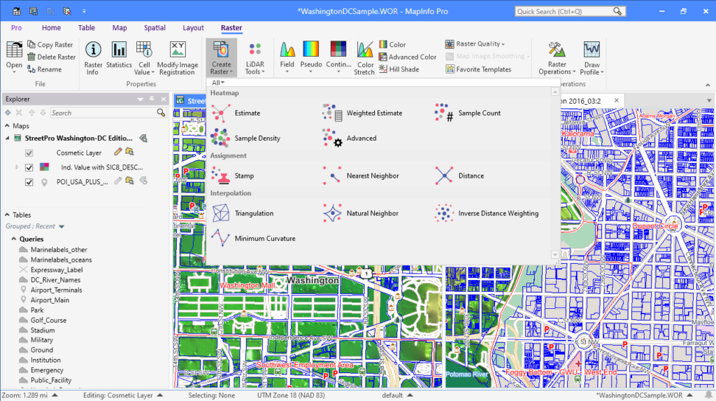
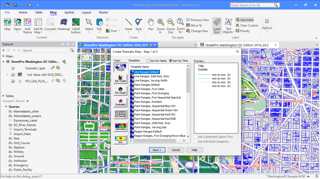
The software solution gives you the possibility to generate maps of the area based on topography. A geocoding function is supported. Thus, you can assign specific coordinates to each building or object. It is possible to work with multiple layers, as well as import additional data from CAD systems. Additionally, you have the option to add text descriptions and create legends.
Data analysis and processing
What is more, the utility is capable of presenting information in both visual and tabular form. You are able to set up interaction with various relational database management systems, such as Oracle Database, Firebird or Aqua Data Studio. Moreover, you have the ability to create SQL queries, generate reports, export maps to PDF or print them.
Features
- free to download and use;
- compatible with modern Windows versions;
- gives you the ability to process cartographic data;
- you can import information from different CAD systems;
- it is possible to add text descriptions and create legends;
- allows you to create SQL queries and export maps.


