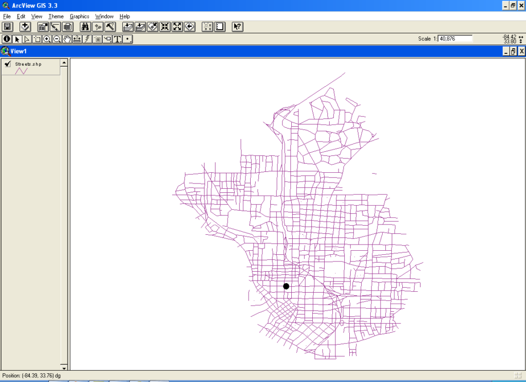
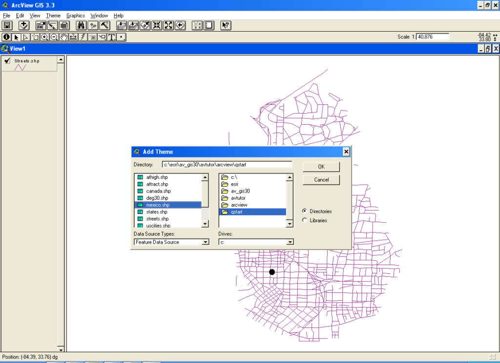
This software is intended for visualizing, processing and analyzing geographic data on the desktop. It is possible to add various information layers to the map.
ArcView GIS
ArcView GIS is a Windows program that allows you to work with geographic data in multiple formats. There is support for spatial and image files. Moreover, you can import tabulated text from an Oracle Database package.
Main purpose
This specialized utility contains instruments for viewing and analyzing geographic data such as country maps and street layouts acquired from different sources. Users are able to create and modify additional information layers for constructing detailed projects.
There are tools for building charts and graphs based on the imported data. Complex tables with all relevant numerical values can be generated for further analysis.
Included instruments
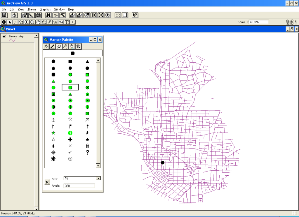
It is possible to zoom in and out of the picture, measure separate elements and add text notes to the objects. Additionally, you are able to draw lines, markers and basic geometric shapes. There are options for moving, rotating and deleting any geographic feature.
Users can write automation scripts for executing sequences of predefined tasks. This functionality is helpful for the batch processing of similar maps.
Please note that ArcView GIS is an obsolete program and cannot be installed in Windows 7 or newer.
Features
- free to download and use;
- offers you tools for viewing and analyzing geographic information;
- it is possible to import city maps, country borders and other data;
- there is support for automation scripts;
- users can draw geometric shapes, lines and markers on the map;
- compatible with Windows XP and Vista.


just to learn
asd