This utility is a tool for visualizing cartographic data. Thanks to this software, it is possible to access satellite imagery of the Moon’s and Earth’s surface.
World Wind
World Wind is a Windows program that helps you view satellite images of Earth. Just like Google Earth, this utility supports location searches by coordinates and gives detailed information about landmarks
Global View
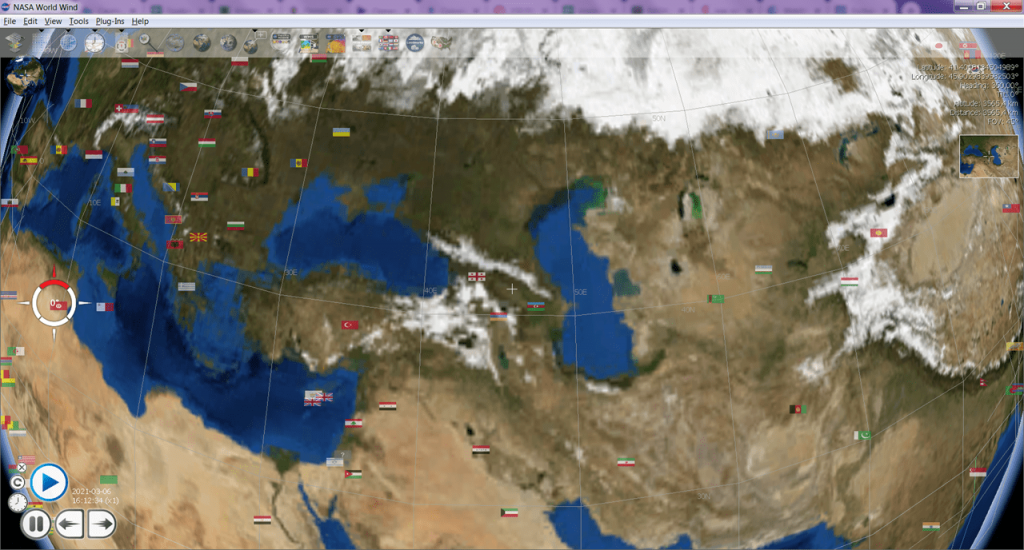
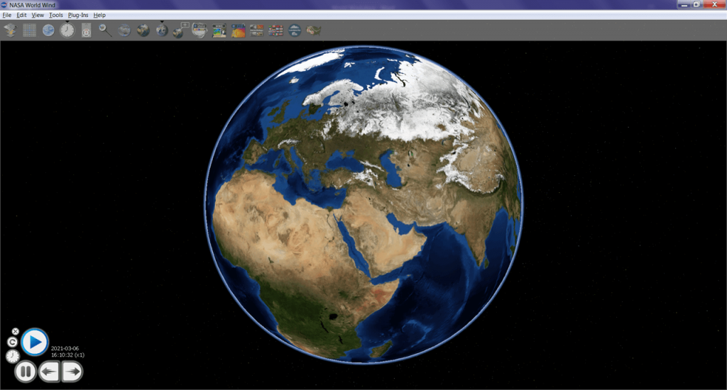
After launching this program, you can access interactive 3D map. There is an option to zoom in and out of the image. As the scale changes, the utility automatically loads high-resolution images from the server.
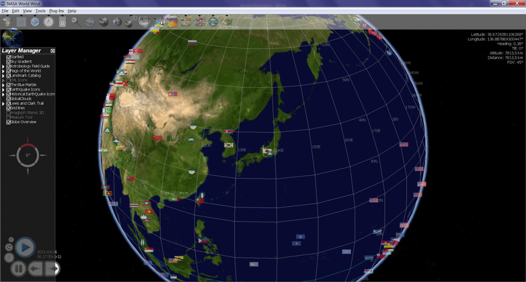
Users can navigate to specific map coordinates. The application allows selecting layers to display on the screen, such as country flags and symbols for landmarks.
Satellite Imagery
World Wind offers users to view satellite images not only of Earth but also of the Moon. The photos clearly show terrain, mountains, and fissures. Users can take screenshots and save images to disk.
Guide
This software gives you stats on hurricanes, earthquakes, volcanic eruptions, and other natural occurrences.
The program includes a guide that provides information about remarkable places, cities, countries, and natural objects. To learn more about a landmark, city, or country, users can double-click its name and launch the embedded browser.
Features
- represents a 3D map of the Earth’s surface;
- allows viewing satellite images;
- displays detailed statistics on natural occurrences;
- users can choose scale and resolution;
- free to download and use;
- compatible with modern Windows versions.


