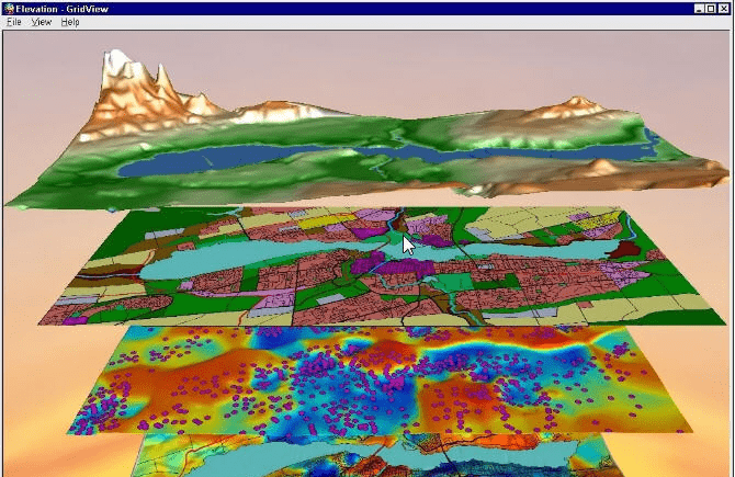
Using this powerful GIS software you can create, visualize and analyze geospatial raster data. It is possible to generate detailed digital elevation models.
Vertical Mapper
Vertical Mapper is a Windows utility for working with raster data in MapInfo Professional. There are instruments for interpolating, classifying, merging, clipping and resampling raster data. Please note that Vertical Mapper is discontinued and no longer supported by the developer. The installation files are not available.
Main capabilities
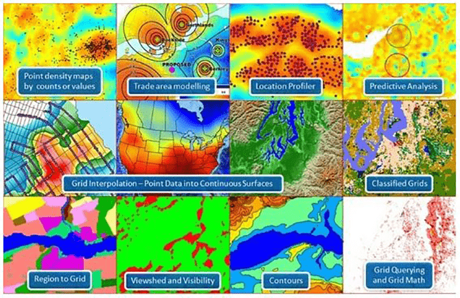
This application allows users to work with a variety of GIS products, including digital elevation maps, classified grids, contours, etc. Tools for manipulating and analyzing raster information are provided as well.
A wide range of professionals like surveyors, engineers, geologists and urban planners can utilize Vertical Mapper to streamline the workflow and speed up their work. For example, it is possible to map floodplains, plan transportation routes and assess potential environmental impacts of any project.
Included tools
You are able to interpolate raster data using various methods such as triangulation with smoothing and inverse distance weighting. Additionally, there are flexible classification options for automatically sorting source information into multiple categories.
Features
- free to download and use;
- provides instruments for working with geospatial raster data;
- you can map floodplains and assess potential environmental impacts of any project;
- it is possible to interpolate and resample source information;
- compatible with all modern versions of Windows.


