Using this program you can download and manage map files for various programs or GPS devices. It is possible to create custom waypoints and plan optimal routes.
Terra Incognita
Terra Incognita is a Windows software that contains instruments to help users obtain geographical maps for GPS navigation. Supported target apps include OziExplorer, Kmz, JNX, GPSdash and TrekBuddy. There is an option to automatically split extensive areas into multiple smaller files, ensuring optimal performance and stability.
Map acquisition
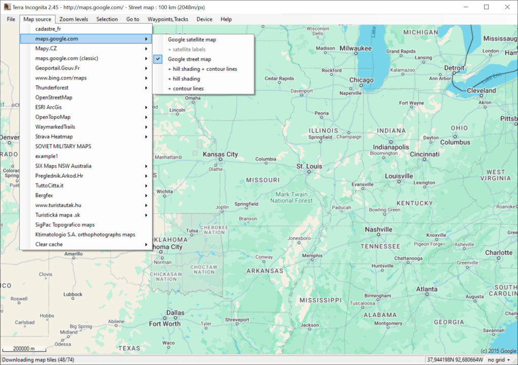
After starting the utility you are instructed to select the preferred source of geographical data. It is possible to download maps from a wide range of online platforms such as:
- Google Earth;
- OpenStreetMap;
- ESRI ArcGis and many more.
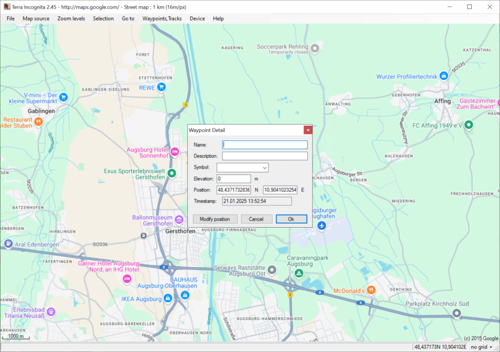
Users can explore downloaded maps by panning around to find target objects. Moreover, tools for creating waypoints and custom tracks are provided. This facilitates comprehensive route planning and analysis.
Export capabilities
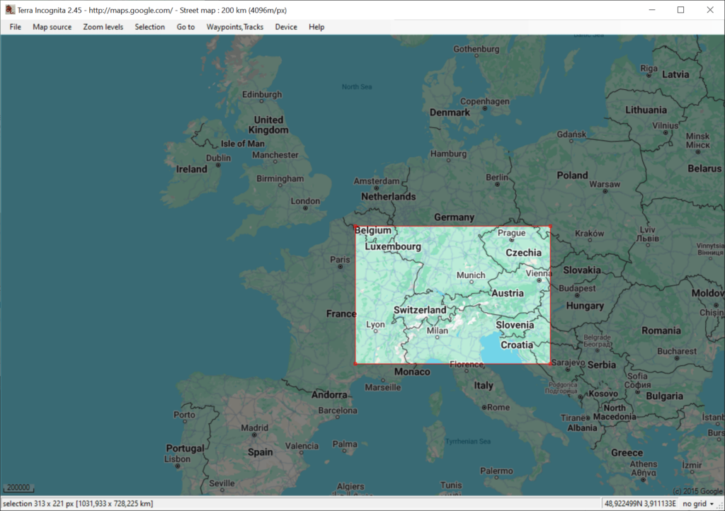
You are able to select specific areas for saving, generating custom files tailored to specific requirements. Resulting packages are fully compatible with a wide range of GPS devices, including legacy Garmin navigators. Additionally, there is an option to change the default cache directory to prevent potential storage capacity issues.
Features
- free to download and use;
- provides instruments for updating map data on various types of GPS devices;
- you can manually choose the desired source of geographical information;
- there is support for a variety of export formats like GPSDash, TomTom and Trekbuddy;
- compatible with all modern versions of Windows.


