This program provides flexible flight control instruments for autonomous drones powered by PX4 or ArduPilot. It is possible to configure vehicle parameters as well.
QGroundControl
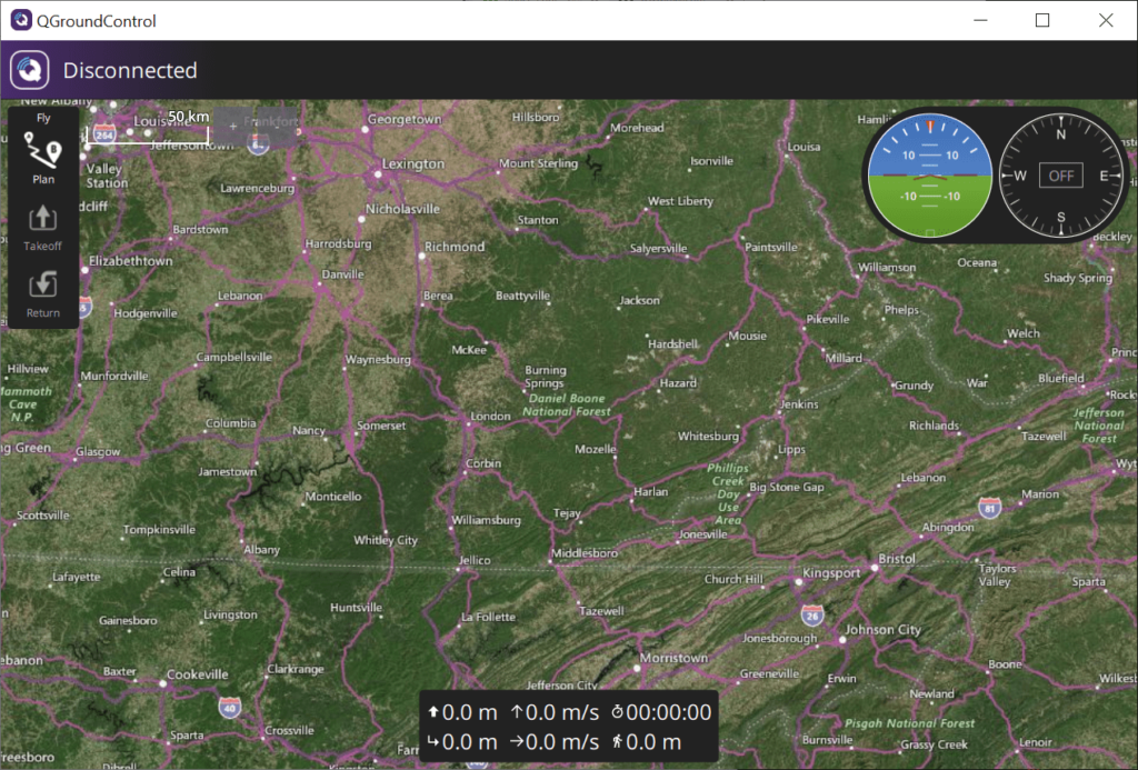
QGroundControl is a Windows application for setting up and remotely controlling flying drones. Users can manage multiple vehicles simultaneously. Tools for planning autonomous flight routes and complex multistep missions are provided.
Vehicle setup
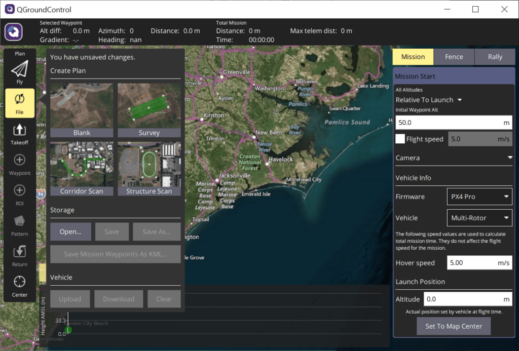
After starting the utility you are prompted to select the correct device firmware from the drop-down list. Compatible vehicles include multi-rotor, fixed wing, VTOL, rover and submarine drones. Moreover, Mavlink Generic hardware is supported.
It is possible to customize the hover speed and launch altitude. Flexible on-board camera settings are available as well. Users can schedule photoshoots and video recordings in specific coordinates.
Geofencing
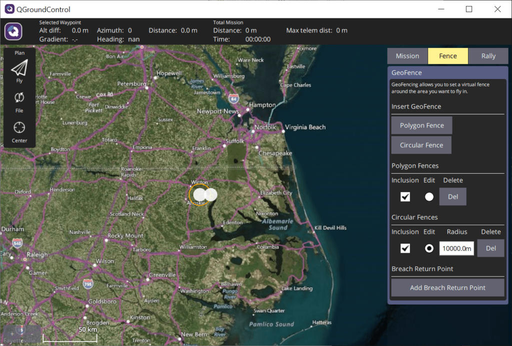
This software lets you set a virtual fence around the planned flight area. There is a world map with detailed information about every city and road. Both circular and polygon fences can be created.
Mission plans
Similar to Mission Planner, users are able to schedule complex routes with multiple points and photo sessions. Several standard plans for surveying a custom sector, patrolling a predefined corridor or creating a detailed structure scan are included.
Features
- free to download and use;
- allows you to configure and remotely control flying drones;
- it is possible to create autonomous routes with multiple photoshoots;
- users can set a virtual fence for the vehicle;
- compatible with all modern versions of Windows.


