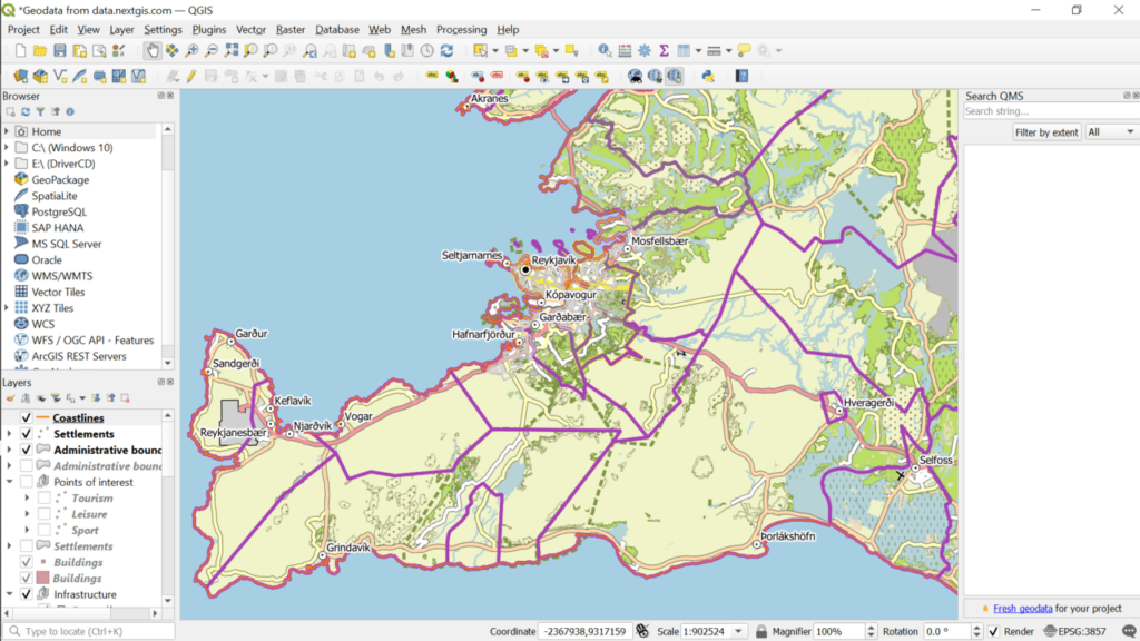
With this tool, users are able to create and edit geospatial data. Moreover, they have the option to perform reprojections, as well as identify and label features.
QGIS
QGIS is a Windows application that helps you easily create or browse map data. It also supports a wide array of vectors, rasters as well as database formats alongside GPS data such as waypoints.
Interface and functionality
Similar to Trimble Data Transfer, the utility features a thorough and complex graphic user interface. Novices will find it difficult to navigate, while the professionals who work with spatial data will quickly be able to work on their project. Additionally, the software presents very detailed documentation to help you accomplish what you have planned.
The main objectives of this program are:
- vector and raster viewing;
- spatial data mapping;
- interactive exploration;
- editing and analysis;
- map Internet publishing and adaptation.
Map types
Once you get acquainted with this application, you can start using its comprehensive set of tools to successfully manipulate various formats such as PostGIS and SpatialLite. Additionally, the utility supports the vector and raster types used by the OGR and GDAL.
Advanced editing tools
With this program, you are able to perform reprojections, create spatial bookmarks, identify and label features, as well as edit attributes. Using the digitizing tools, you have the option to also manage vector characteristics.
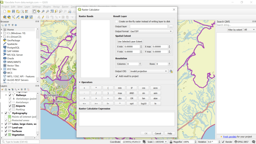
Moreover, the software has the raster calculator and GPS instruments, which will aid you in creating, configuring and exporting your spatial data.
Features
- free to download and use;
- can create and browse spatial data;
- compatible with modern Windows versions;
- supports a wide range of map formats;
- provides various data editing tools.


