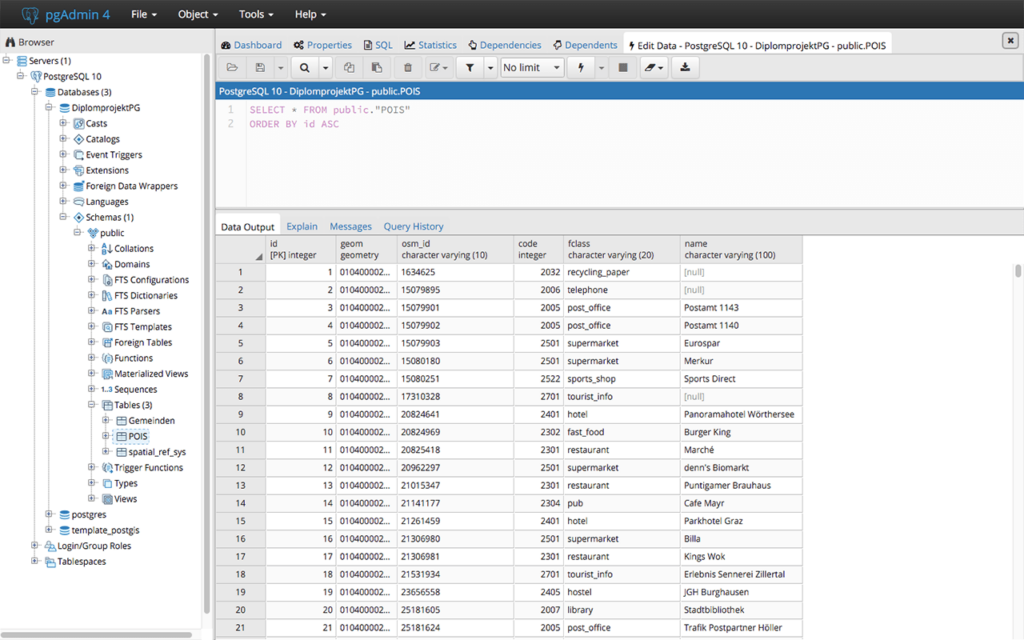
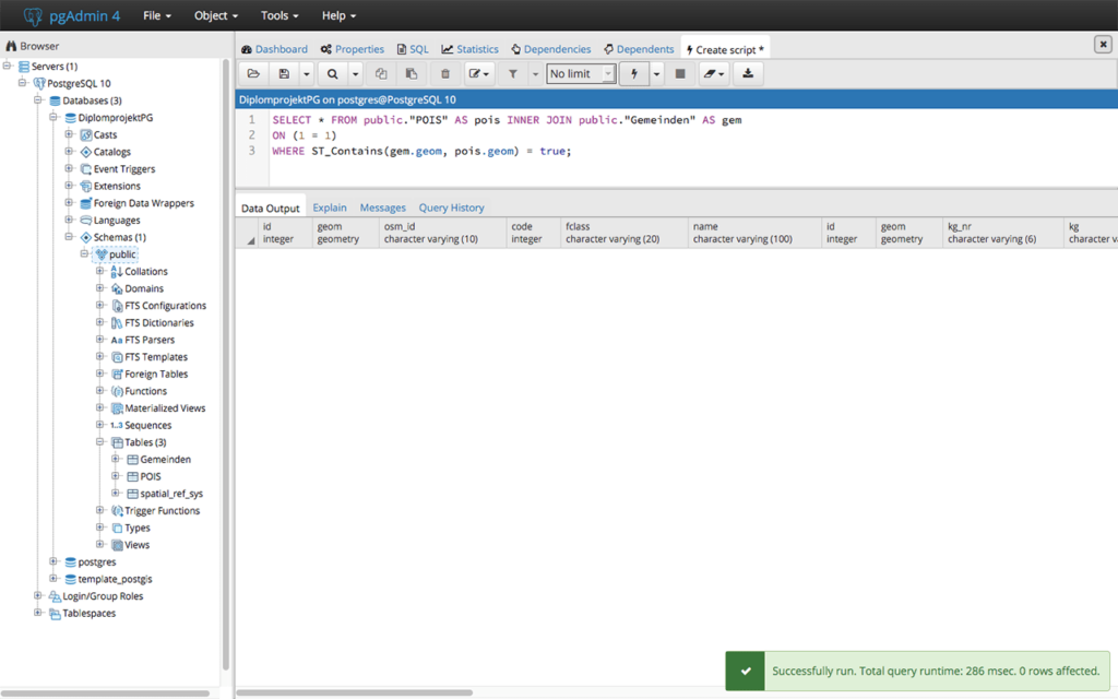
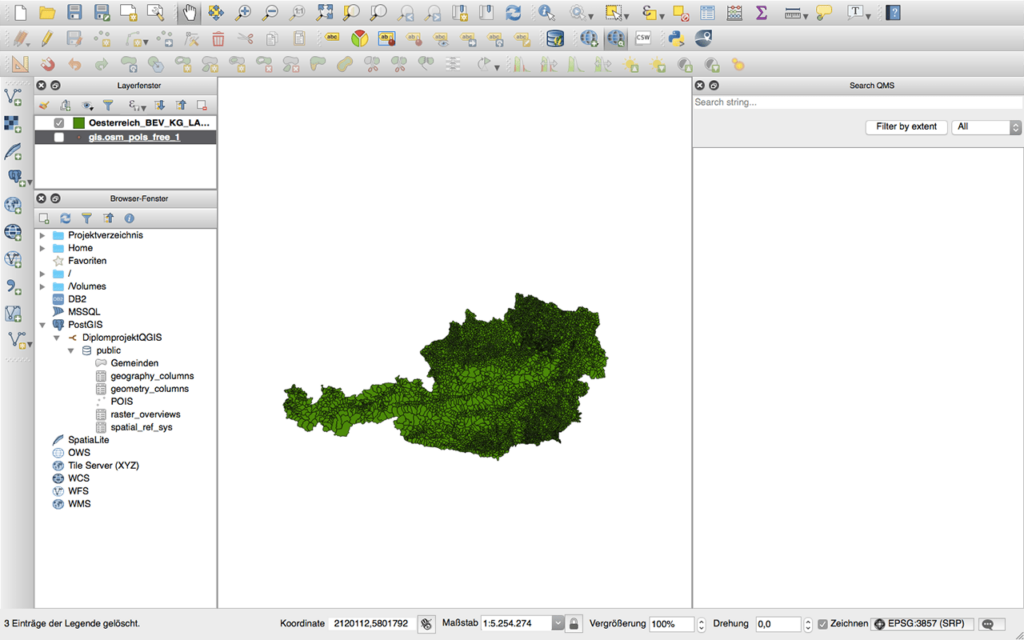
Using this extension for the PostgreSQL relational database system you can work with GIS objects. There is support for GiST based R Tree spatial indexes.
PostGIS
PostGIS is a Windows software that lets users install a plugin for PostgreSQL. It provides instruments for storing geographical information in a database. Moreover, flexible analysis and processing options for GIS objects are available.
How it works
The plugin supports raster data types and functions. These elements are used to represent gridded information such as satellite imagery or digital elevation models. It is possible to include raw topology values to establish spatial relationships between individual objects.
Other programs for interacting with geospatial data like OpenGeo Suite are available for download.
Data processing
You can calculate exact areas of polygons and find the nearest neighbor of any random point. There are instruments for transforming spatial data from one coordinate reference system to another. Moreover, an option to measure the distance between two locations is provided.
Tools for sending complex SQL queries and analyzing responses are included. Users are able to remotely access personal databases by entering the correct account credentials. This is helpful for managing multiple projects at the same time.
Features
- free to download and use;
- provides instruments for storing GIS information on PostgreSQL databases;
- you can process gridded information like digital elevation models;
- it is possible to convert spatial values between different coordinate reference systems;
- compatible with all modern versions of Windows.


