Using this free tool you can create flight plans for Microsoft Flight Simulator, X-Plane or Prepar3D. It is possible to display nearby air traffic controllers.
Plan G
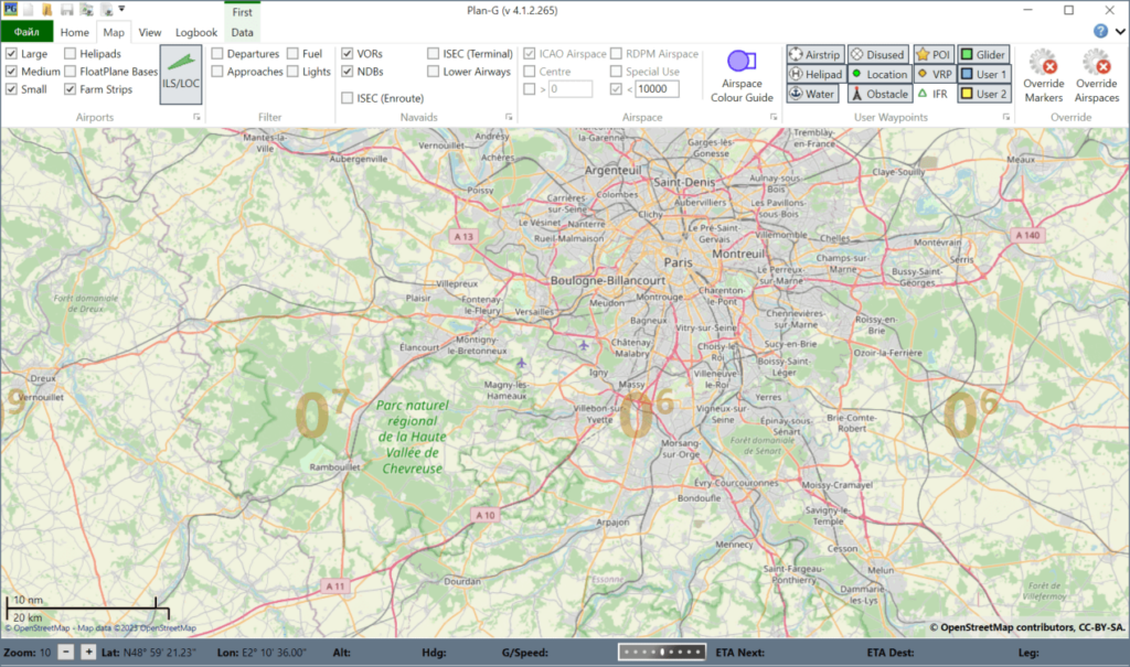
Plan G is a Windows utility that lets users plan virtual routes for various popular flight simulation apps and games. Users are able to view detailed terrain and aerospace information. Multiple map sources like OpenStreetMap, Google Earth and Bing Maps are supported.
Flight planning
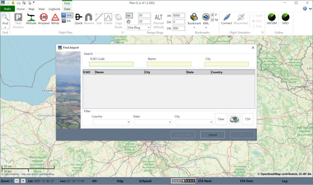
After starting the application you can navigate to any part of the world and begin creating a personal route. There are instruments for quickly locating the required airport by ICAO code, name or city. It is possible to set a custom airspeed and altitude. Moreover, you are able to configure specific weather conditions for the flight.
It is possible to import and export flight data in multiple file formats for different applications. Users can connect Plan G to the simulator and view real time information about the current aircraft position, altitude, speed and map heading.
Parameters
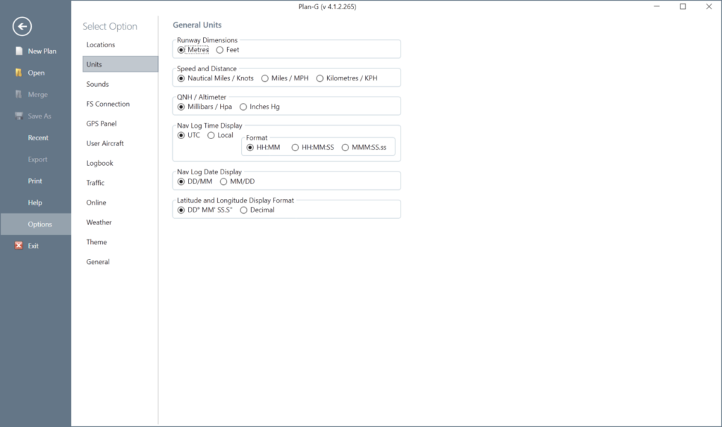
The Options menu allows you to switch between various types of measurement units. Advanced Microsoft Flight Simulator integration settings are provided as well. The GPS Panel tab contains tools for setting a maximum airspeed and target altitude as well as for enabling automatic course corrections.
Features
- free to download and use;
- provides instruments for planning virtual flight routes;
- supports Microsoft Flight Simulator, X-Plane and Prepar3D;
- you can search airports on a world map by official code or name;
- compatible with all modern versions of Windows.


