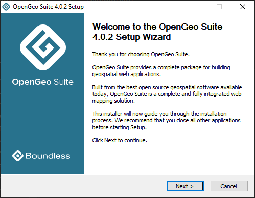
Thanks to this software distribution, users are able to work with geospatial data. Moreover, they have the option to import existing SQL and PostGIS records.
OpenGeo Suite
OpenGeo Suite is a complete geospatial program for Windows that enables you to manage data and build maps and apps across web browsers, mobile and desktop devices. With the help of this tool, you can store data with PostGIS and publish information from a variety of formats and sources with GeoServer. In addition, you have the option to design flexible user interfaces and custom workflows, analyze and export geospatial data with QGIS and more.
Enterprise connectivity
The utility allows you to put your existing SQL Server, Oracle or PostGis records onto Google Earth or Google Maps faster than any other software solution. The OpenGeo Suite offers extensive connectivity by reading directly from the database instead of pre-generating a number of tiles.
Custom applications
What is more, you are able to take your navigation apps even further with GeoExt and OpenLayers. These components provide a flexible set of mapping, editing and analysis instruments.
OpenLayers gives you access to vector editing functions previously unavailable on desktop clients, including snapping, splitting and basic shared boundary editing. Thus you can make edits from the browser directly to an enterprise database on top of Google Maps tiles.
Features
- free to download and use;
- compatible with modern Windows versions;
- allows you to manage geospatial data and build maps;
- you can import SQL, Oracle, PostGIS and other databases;
- it is possible to design flexible user interfaces for apps.

