Using this advanced application, you can plot a course on a navigation map. Moreover, you have the option to measure distances as well as scale in or out.
OpenCPN
OpenCPN is a program for Windows that caters to a niche community of individuals involved in sailing who share a passion for technology. Its main purpose is to provide a number of features dedicated to marine navigation.
Navigation capabilities
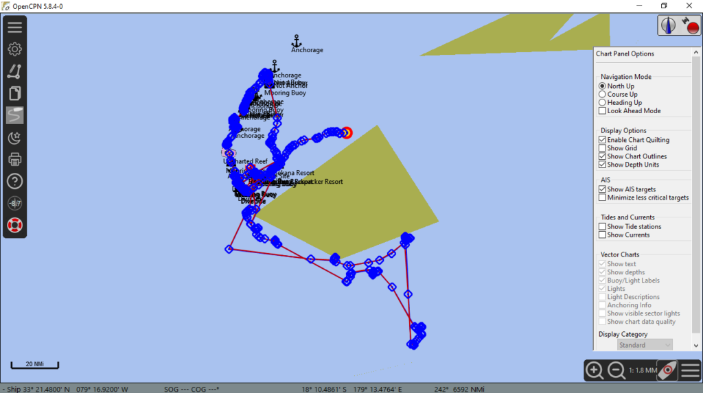
This software offers a chartplotter capable of handling both GPS data and electronic navigational charts. It displays the ENC alongside the position, heading, and speed of the ship. You can also view additional information sourced from radar, AIS systems, and other sensors, such as echolocators or sonar.
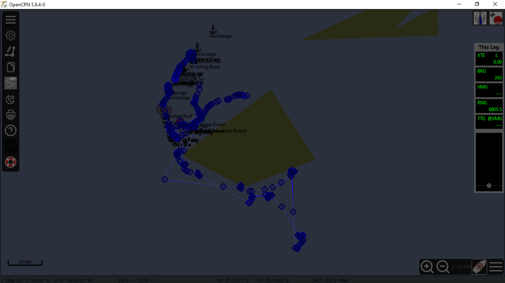
What is more, you have access to route calculation and directions. This is based on a vector map, typically designed for motorized vehicles. The graphical interface has a picture in the background, illustrating the traveled path and allowing preprogramming of routes.
Charts and conclusion
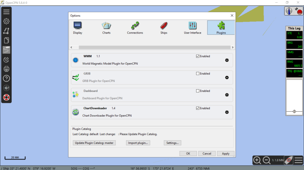
It is worth noting that the application is compatible with BSBv3 raster and S57 ENC charts, CM93 vector charts, and even plugins. Display options encompass single chart, quilted, north up, course up, chart up, and moving map modes. There is also support for waypoint navigation, anchor watch, and alarms.
In summary, the program delivers a variety of functions that would be appreciated by sailors. It stands out as a convenient choice if you own a boat or have a passion for maritime navigation. If you would like to design 3D models of yachts and ships, you may try another tool called FREE ship.
Features
- free to download and use;
- compatible with modern Windows versions;
- enables you to plot marine navigation charts;
- you can switch between several map modes;
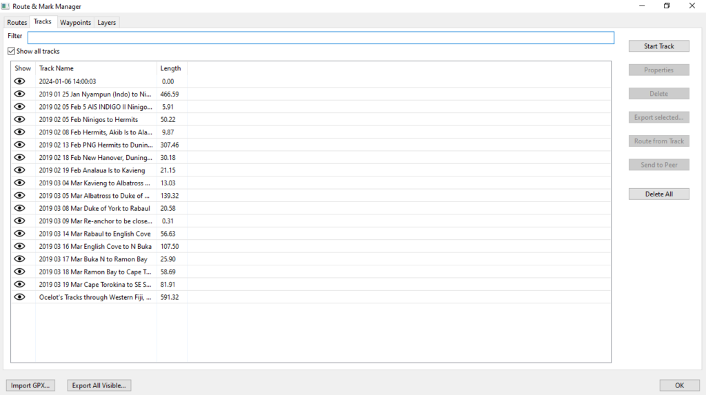
- there is support for viewing the traveled path.


