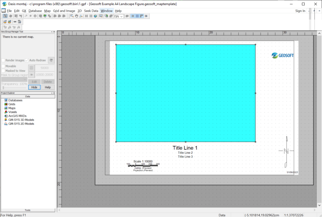
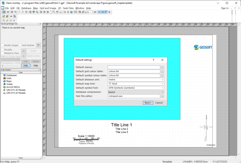
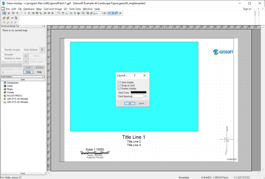
With the help of this specialized software you can view Geosoft database files containing landscape profiles, grids, voxels, map layouts and raster images.
Oasis montaj
Oasis montaj is a Windows utility for viewing and analyzing geographical information. It supports MXD files made in ArcGIS, AutoCAD drawings and a wide variety of common image formats.
Viewing options
This application allows users to visualize geoscience data, landscape profiles, maps and 3D environments. There are instruments for importing XYZ and GBN databases with additional terrain information.
You can create custom toolbars for analyzing specific types of data. There are menus for working with airborne survey results, gradiometric tables, sea floor maps, etc.
It is possible to connect separate databases, profiles and maps with each other. This functionality is helpful for easier navigation through complex projects.
3D models
There are tools for viewing 3D maps, grids and surface profiles. Buttons for rotating and panning the camera are provided. Users can edit separate polygons by adding or deleting the nods.
Export options include converting the project to the PDF format and sending all maps to the printer. Flexible page layout settings are available.
Features
- free to download and use;
- offers you tools for viewing geological maps, landscape profiles and survey results;
- there is support for AutoCAD drawings, ArcGIS databases and popular image formats;
- it is possible to edit individual polygons on 3D maps;
- users can convert projects to standard PDF documents;
- compatible with all modern versions of Windows.


