This software is intended for creating travel routes based on the information from Magellan GPS receivers. Users can add points of interest and edit existing maps.
MobileMapper Office
MobileMapper Office is a Windows application for processing GPS data from Magellan trackers. It is possible to export the route in the SHP, MIF, DXF and CSV file formats. Additionally, users are able to create background maps by importing bitmap images.
Building new routes
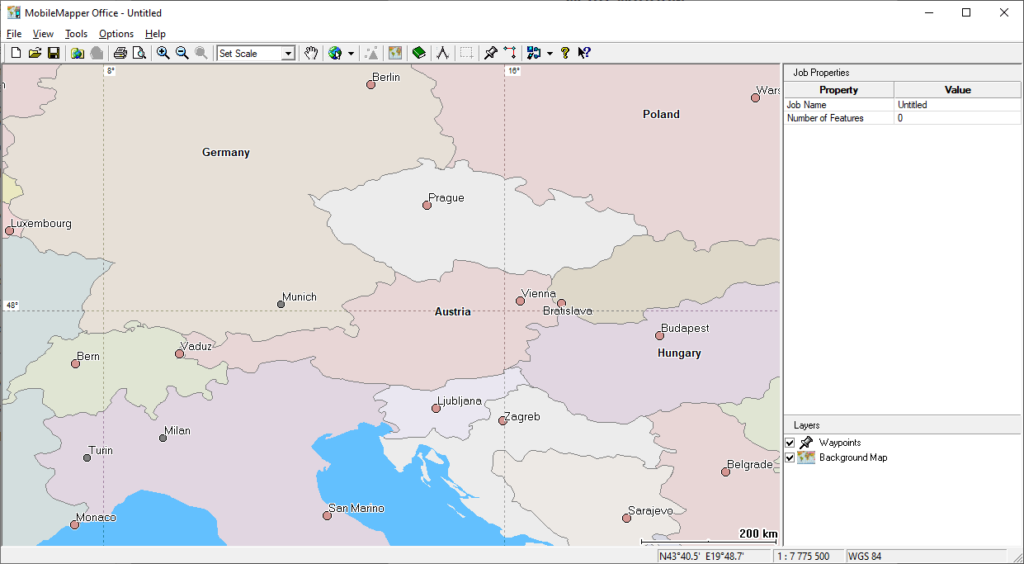
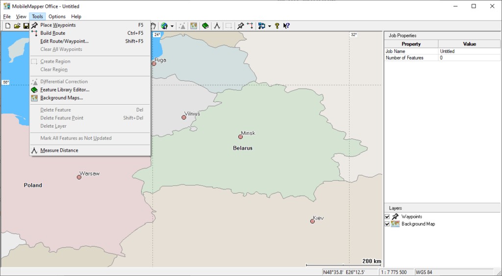
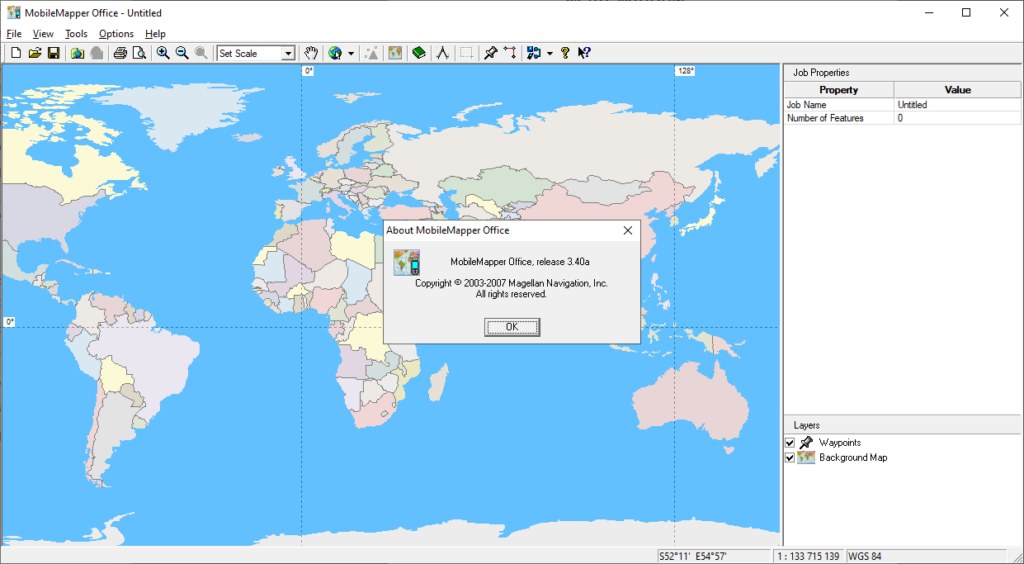
The main window contains a world map and navigation tools. You can zoom in and out, measure distances between two points and create new GPS travel routes.
It is possible to import information from any supported Magellan GPS receiver. Alternatively, there is an option to copy the route from a file on the local hard drive. All recorded travel points are displayed on the right side of the interface.
Tools for measuring the distance between two locations are available. Moreover, you can connect multiple points to create a new route. The overall length and last leg distance are displayed in the small tooltip window.
The final travel route can be saved in several common file formats and uploaded to the GPS device. Additionally, it is possible to import the data to another program like QGIS.
Map configuration
There are instruments for adding detailed background maps from an image file. Users can upload feature libraries that contain roads, parks, points of interest and other map elements.
You are able to select metric or imperial units for displaying all distances. Moreover, there are options for showing the grid and scale interval.
Please note that MobileMapper Office is a paid software. The free trial version will stop functioning 30 days after installation.
Features
- free to download and use;
- contains tools for creating GPS routes;
- users can add detailed background map images;
- there is support for Magellan GPS trackers;
- compatible with all modern versions of Windows.


