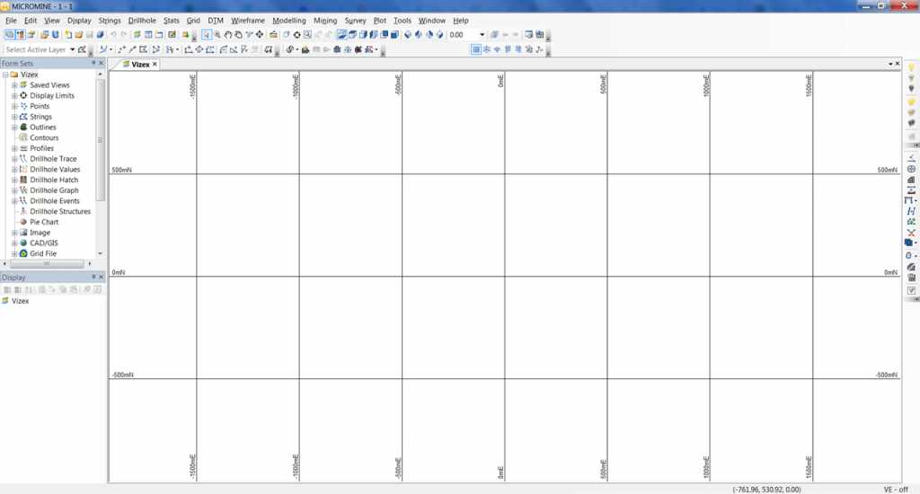
This mining and geological information system is used for creating 3D maps and planning projects. The application also supports data visualization features.
Micromine
Micromine is a utility for Windows that offers such features as processing and organizing data obtained from geological surveys. Similar to Global Mapper, this application was created for professional use. It is possible to create terrain profiles and drillhole trajectories. Additionally, there is an option to present tabular information in a visually comprehensible manner.
Design
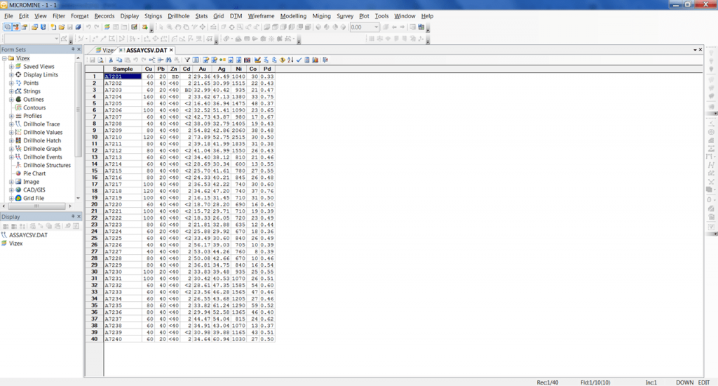
The structure of this program closely resembles a database management system. The foundation for design is a table containing numerical values from geological surveys. All collected data gathers into profiles as well as 3D and 2D maps.
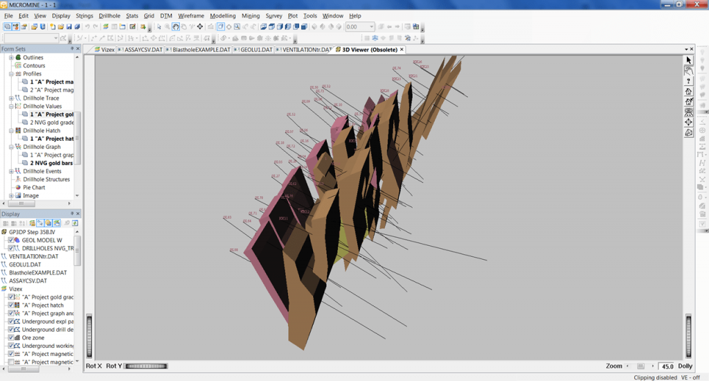
In the process of creating a geological model, it is possible to organize data as well as display information about the qualitative properties of minerals and tectonic disturbances. The app can visually represent the depth of strata and ore bodies.
Development
Micromine addresses the creation of underground work networks for mine development. Users can mark the locations for mining operations, including roads, dumps, and pits.
The program enables the planning of optimal sequences of operations and the volumes of excavations. There is an option to improve generation of final reports.
Features
- serves as a tool for processing and organizing data.
- users can create maps and terrain profiles;
- the program offers tools for composing 3D models;
- allows for the calculation of mineral reserves;
- free to download and use;
- compatible with modern Windows versions.


