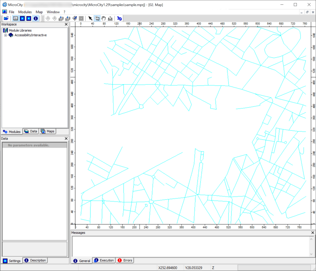
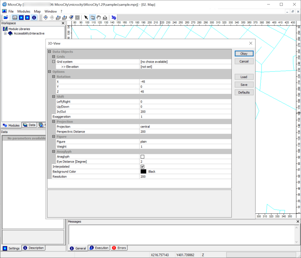
This utility is oriented toward users seeking to analyze various geographic data. It is possible to perform seamless fractal, spatial and network simulations.
Microcity
Microcity is a Windows program that offers you a streamlined and efficient GIS analysis solution. There are instruments to manipulate and explore complex geographic patterns as well, which is perfect for students, educators and scientific researchers.
Spatial data handling
With the help of this software users can visualize intricate relationships between separate GIS models and networks. Additionally, an option to generate fractal based terrains is provided. This functionality is particularly advantageous when trying to better understand various types of natural phenomena.
Like in ArcGIS Earth, it is possible to navigate across the map by panning and zooming. Tools for generating a detailed 3D view are included as well. Moreover, you are able to quickly measure distances between two separate points.
Advanced capabilities
Microcity empowers users to import custom data points into the project. There are instruments for adding:
- Shapes;
- Point clouds;
- Grids, etc.
Resulting maps can be saved as JPG, PNG or GIF images. Resulting pictures are ideal for online sharing and collaboration.
Features
- free to download and use;
- allows you to visualize and analyze GIS information;
- facilitates accurate fractal simulations;
- it is easy to integrate shapes, grids and other objects into the project;
- users can effortlessly export their maps to several popular image formats;
- compatible with all modern versions of Windows.


