Thanks to this utility, users can perform various operations with geographical information. It is possible to process images, create histograms, and so on.
Ilwis
Ilwis is a robust remote sensing and GIS program for Windows that focuses on the manipulation of vector and raster objects. It places a strong emphasis on data analysis and digitization. It is necessary to note that you can also produce high quality maps.
Create different GIS projects
Initially created for students and researchers, this software has evolved into a widely adopted integrated vector solution applicable across various domains. Its distinct advantages lie in its comprehensive feature set. This includes different routines and instruments for working with satellite imagery, maps, and tables.
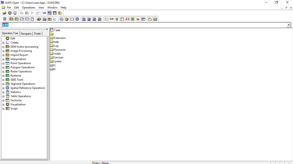
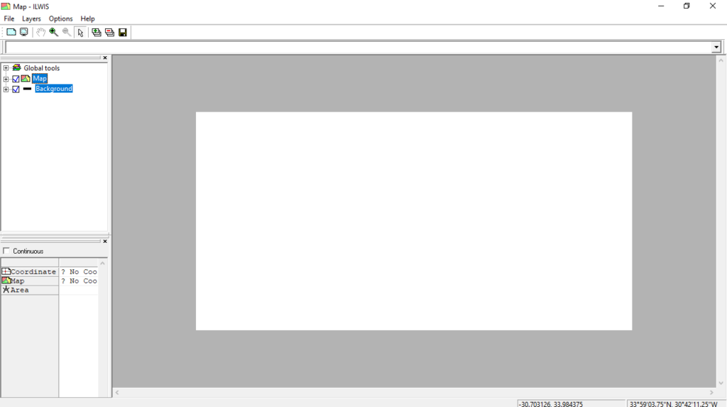
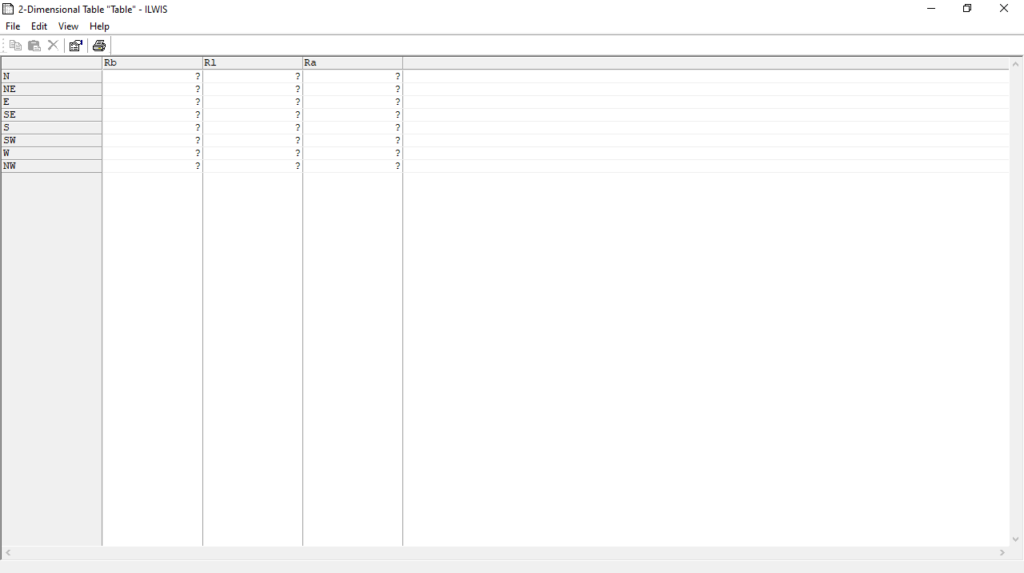
The utility has a classic graphical interface. The neatly organized buttons and menus give you quick access to a diverse range of functions. You can initiate various project types, such as point, segment, and raster maps, as well as tables, graphs, coordinate systems, etc.
Manipulate geographical data
The Operation Tree section serves as a gateway to features like rasterization, vectorization, statistical analysis, image processing, segment operations, and more. The same manipulation options are available within a dedicated menu as well.
Some other notable capabilities encompass distance calculations, Digital Elevation Model generation, and map classification. It is also possible to manage attributes, create histograms for satellite imagery, and interpolate isolines. Alternatively, you may try similar tools, ArcGIS and QGIS.
Features
- free to download and use;
- compatible with modern Windows versions;
- gives you the means to analyze raster data;
- you can calculate distances and classify maps;
- there is support for histogram creation.


