Thanks to this software solution, you are able to work with different hydrological data. Additionally, you have the option to customize the interface.
HEC HMS
HEC HMS is a special program for Windows designed to help users perform highly customizable hydrological simulations. What is more, it provides increased parametrization and an extensive collection of modeling tools.
Intuitive layout
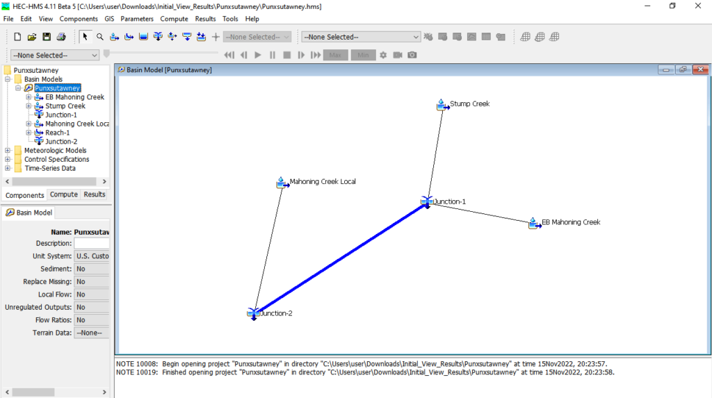
People who are familiar with working in a GIS environment will have no difficulty transitioning to HEC HMS, as the interface layout is very similar to one found in ArcGis and QGIS. Thanks to the layers panel you are able to view and access data, while the main working area itself may be either tiled or maximized, according to your specifications.
Model hydrological data
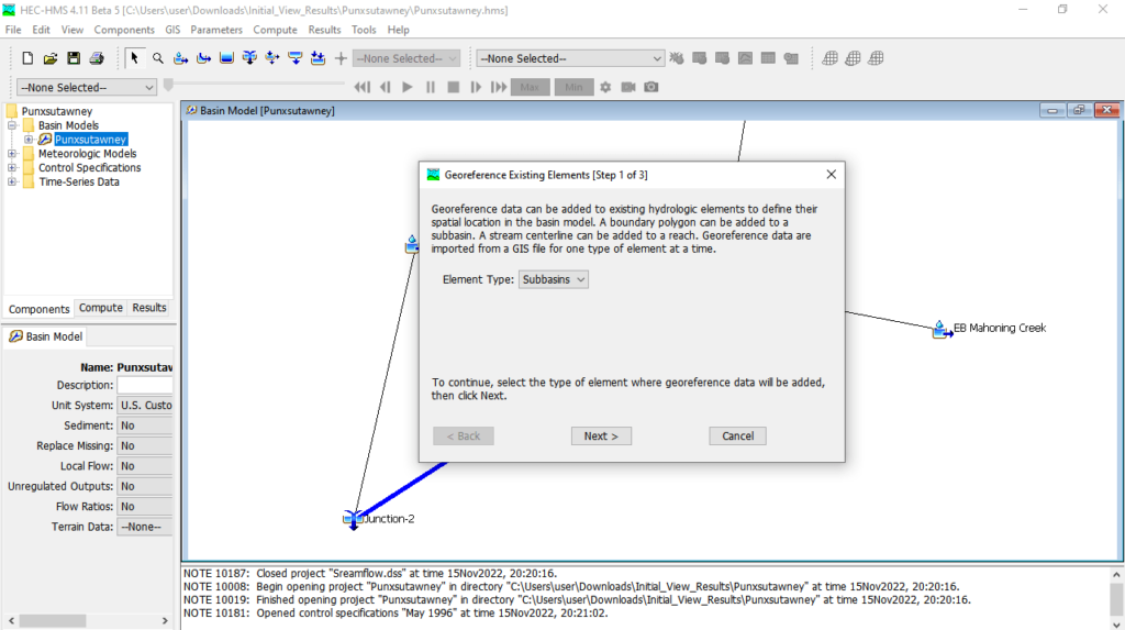
The utility aims to define the scope of any hydrological modeling approach. Thus it is possible to create, edit and manage a multitude of hydrological variables, including watersheds, weather data, time-series and even terrain data.
Advanced configuration
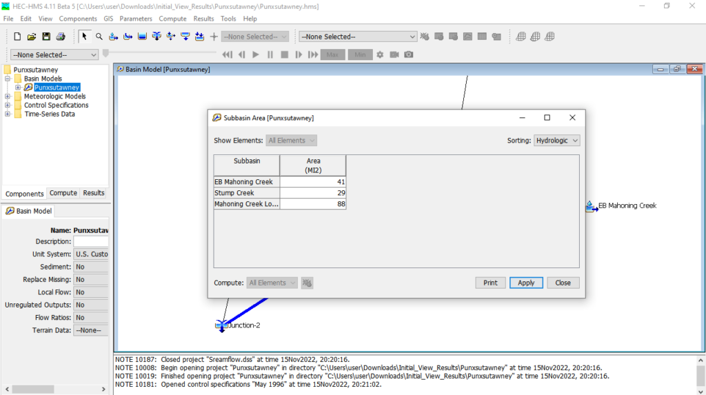
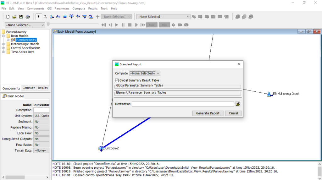
There is a wide range of parameters available as well as the ability to adjust each. This means you can perform real customization of your data, in a very detailed approach. Please note each parameter features a dedicated module. In addition, if you perform simulations that encompass multiple parameters, the software requires a significant amount of processing time.
Features
- free to download and use;
- compatible with modern Windows versions;
- gives you the ability to perform hydrological simulations;
- it is possible to create, manage and edit different types of data;
- you can customize the interface layout according to your needs.


