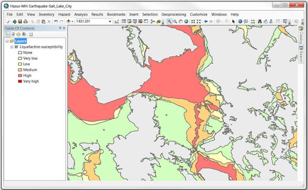
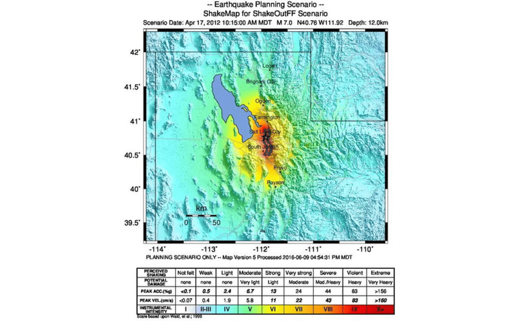
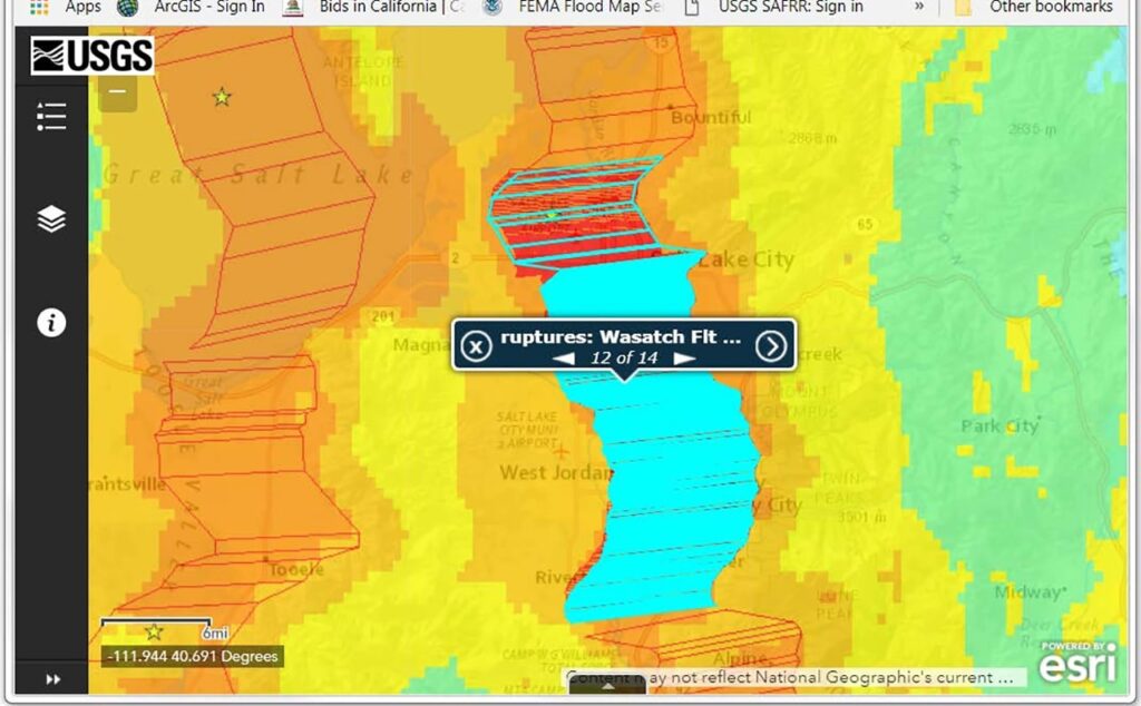
Using this specialized utility developed by the US Federal Emergency Management Agency you can assess natural hazard risks such as earthquakes and hurricanes.
Hazus
Hazus is a Windows program for analyzing how the buildings, population and infrastructure will be affected in case of a natural disaster. There are standardized tools, data, methods and guidance on floods, earthquakes, tornadoes and tsunamis.
Hazard risk assessment
With the help of this software users can evaluate the consequences of various natural disasters and calculate potential impact on the population. It is possible to integrate Hazus with ArcGIS to streamline the workflow.
Baseline nationwide information for assessing risk in any specific community is provided. Point level data is updated annually in partnership with the Homeland Infrastructure Foundation Level Data Program.
Methodologies
There is a large selection of evaluation techniques developed by the science and engineering community. You are able to relate structural and hazard data to economic losses, casualties, debris generation or sheltering needs. Resulting risk models are more accurate when current datasets are used as inputs.
In summary, Hazus models combine expertise from many disciplines to create reliable risk assessments and help communities all around the US stay safe during natural disasters.
Features
- free to download and use;
- lets you quickly assess potential risks in case of a natural disaster;
- created by the US government to help communities stay safe;
- users can estimate impact from earthquakes, tornadoes and floods;
- compatible with modern versions of Windows.


