This utility lets you create detailed maps and manage various geographical data. It is possible to generate 3D models as well as edit bitmap and vector images.
Global Mapper
Global Mapper is a Windows software for working with digital maps. Similar to MapInfo Professional, the program is oriented toward experienced users. There are flexible instruments for modifying cartographic information and calculating distances between individual points.
Data import
The application supports more than 250 file formats. You can add new map images to begin constructing the project. Several view modes are available. Tools for designing complex multilayer maps are provided as well.
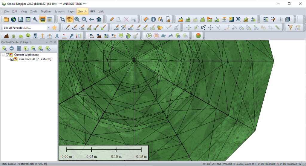
Users can work with three dimensional landscape models. Moreover, it is possible to add text inscriptions, map scale rulers and other elements to the design. There are keyboard shortcuts for zooming in and out of the picture.
Please note that the free trial version of Global Mapper will stop working 14 days after installation.
Analysis
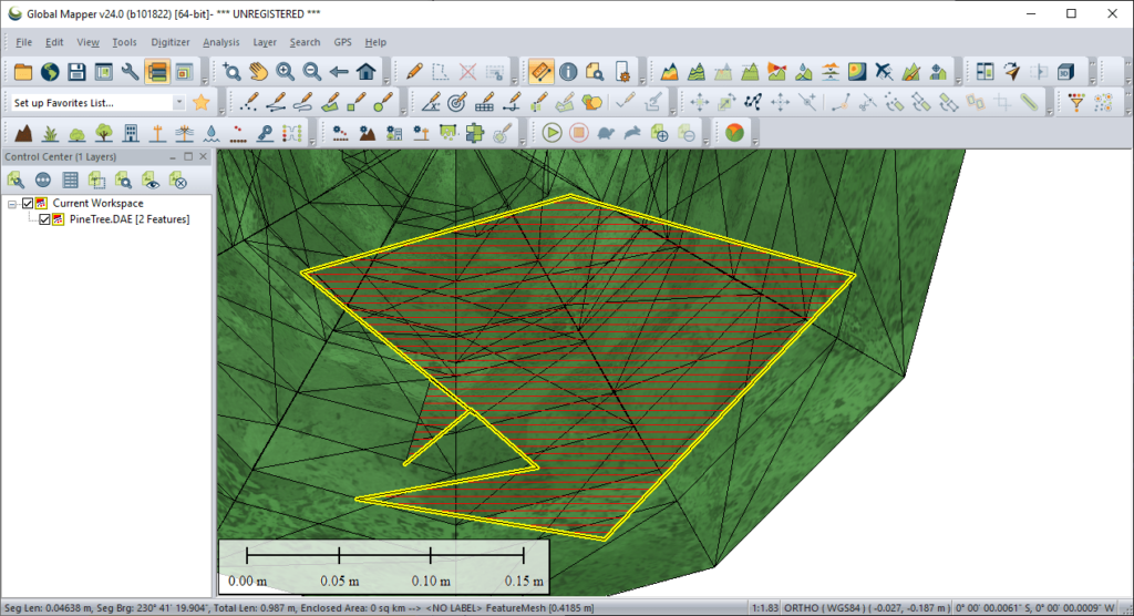
Instruments for evaluating various attributes of the terrain are included. You can create landscape profiles and compare geological layers. It is easy to calculate the area of any region.
There is an option to simulate high or low water levels. The model is built based on specific terrain attributes and existing obstacles. This functionality is helpful for figuring out water routes during the flooding. Users can estimate the required reservoir depth and plan the drainage system.
Features
- allows you to create and analyze detailed terrain maps;
- free to download and use;
- it is possible to add text inscriptions and other elements to the design;
- tools for developing water drainage systems are available;
- compatible with modern versions of Windows.


