Using this specialized C++ library you can perform a wide variety of operations with geospatial data such as geometry validation, buffering and intersection.
GEOS
GEOS is a Windows development tool for validating geometry objects in geospatial data. It is a part of the OSGeo project and is licensed under LGPL 2.1. The library is used by many GIS products like QGIS, PostGIS and GDAL.
Data processing
It is possible to validate geometries by checking for self intersections, invalid objects and empty areas. Additionally, there are instruments for automatically creating buffer polygons around input models.
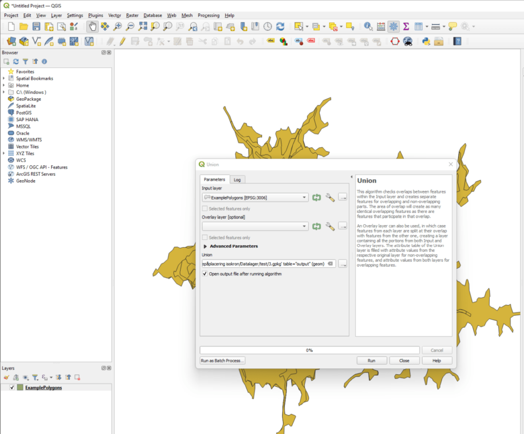
Users can compute the union between two geometries. Tools for calculating the difference between individual objects are provided as well. Moreover, there is an option to generate custom convex halls based on source information.
Advantages
GEOS is designed to be robust and can handle multiple complex geometries without producing incorrect results or crashing. You are able to process large datasets with ease.
A C++ interface for performing all geometric calculations is provided. The library can be integrated into third party applications by including the appropriate header files and links. Alternatively, it is possible to access a Python GUI through the corresponding module.
Features
- free to download and use;
- allows you to validate complex geometries in geospatial data;
- utilized by many popular GIS programs such as QGIS and GDAL;
- there are tools for calculating the difference between two geometries;
- users can process massive datasets;
- compatible with all modern versions of Windows.

