The utility was developed for use with navigators produced by Garmin. Users are able to work with maps, prepare traveling routes and get directions on the spot.
Garmin BaseCamp
Garmin BaseCamp is a program for Windows designed to help you view maps, plan trips and create sightseeing or hiking routes. Using this utility, you can update the firmware of the navigation devices manufactured by Garmin. It is also possible to upload photos taken on the trip and share them with friends online.
Route planning
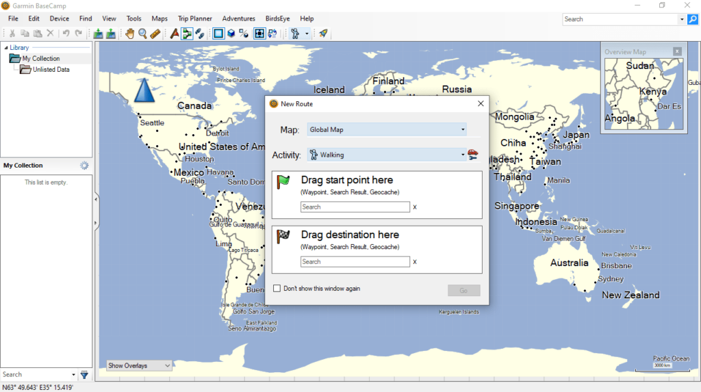
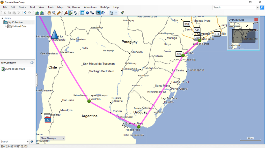
The application enables you to create a car, walking or cycling route. In order to do this, you need to connect the navigator to your personal computer and open the map. The next step is to mark the start and end points of the trip. It is necessary to mention that you can add waypoints and view satellite images of the area.
The Track Draw feature gives you the ability to track changes to the route parameters. Elevation data is also available. This means you have the option to gauge the difficulty level of your hike. Once the planning stage is complete, you can import the trip information in the navigation device’s memory. If you want to create your own atlas for your Garmin device, you may use Mobile Atlas Creator.
Geotagging
The program allows you to upload photos taken while traveling and add coordinates of sight to them. In addition, you are able to share pictures with your friend by sending the desired images via email.
Features
- free to download and use;
- compatible with modern Windows versions;
- gives you the ability to plan sightseeing and hiking tours;
- it is possible to upload photos and add geolocation data;
- you can update the firmware of Garmin navigation devices.


