This utility is designed for the in depth analysis of landscape pattern metrics. It provides a set of tools for quantifying various spatial characteristics.
Fragstats
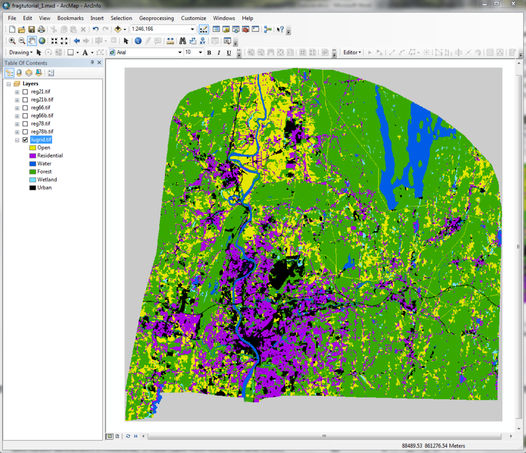
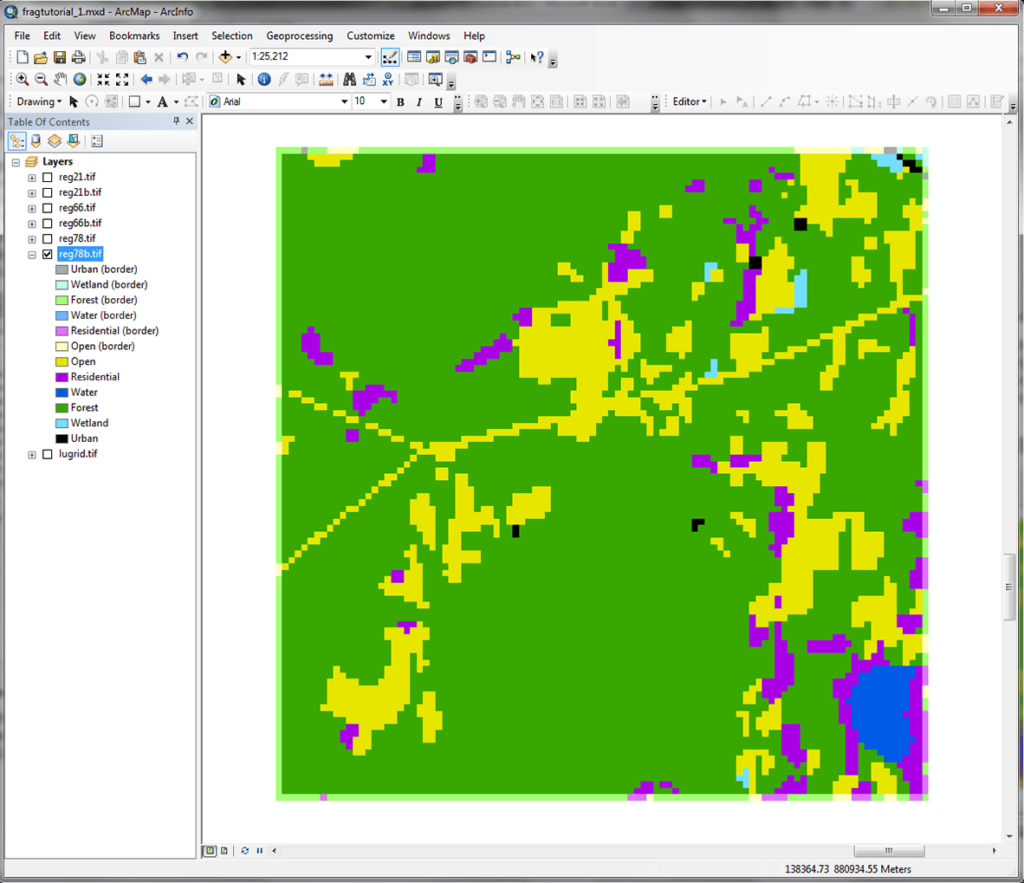
Fragstats is a Windows program that allows researchers in such fields as ecology, forestry and conservation biology to analyze a wide range of landscape pattern metrics. There are instruments for calculating the patch size, shape complexity, connectivity and edge density of a specific region.
Spatial analysis
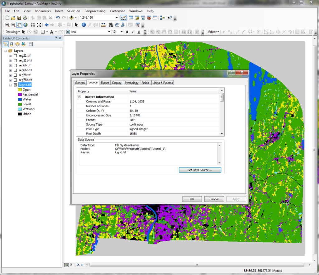
Supported data formats include raster maps and shapefiles. This versatility helps scientists streamline their workflows and diversify information sources. Moreover, it is possible to process multiple files simultaneously, saving valuable time and resources.
You can generate histograms, bar charts and scatter plots based on calculated metrics. Tools for interpreting results and detecting patterns within the data are provided as well.
Areas of application
Fragstats is widely used to assess the impact of habitat fragmentation on species diversity and quantify edge effects on wildlife populations. Forest managers are able to analyze the spatial distribution of different tree species, calculate the risk of wildfires and organize sustainable harvesting practices. Like in Zonation, there is an option to evaluate the effectiveness of conservation corridors.
Features
- free to download and use;
- allows professional ecologists and conservationists to analyze various landscape patterns;
- you can assess the impact of habitat fragmentation on species diversity;
- there are tools for constructing scatter plots and bar charts to visualize the data;
- compatible with all modern versions of Windows.


