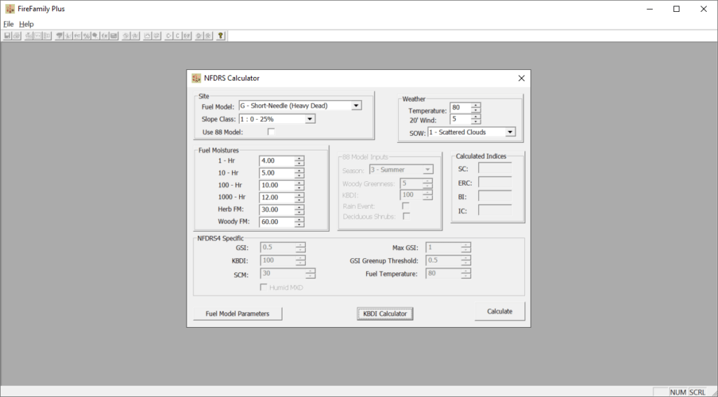
With the help of this utility you can calculate fuel moistures and indices based on the National Fire Danger Rating System and regular weather observations.
FireFamilyPlus
FireFamilyPlus is a specialized Windows program for analyzing and interpreting fire danger information acquired from remote automated weather stations. The data driven approach allows users to quickly assess the possibility of natural ignition at specific locations and across large regions.
Moisture calculations
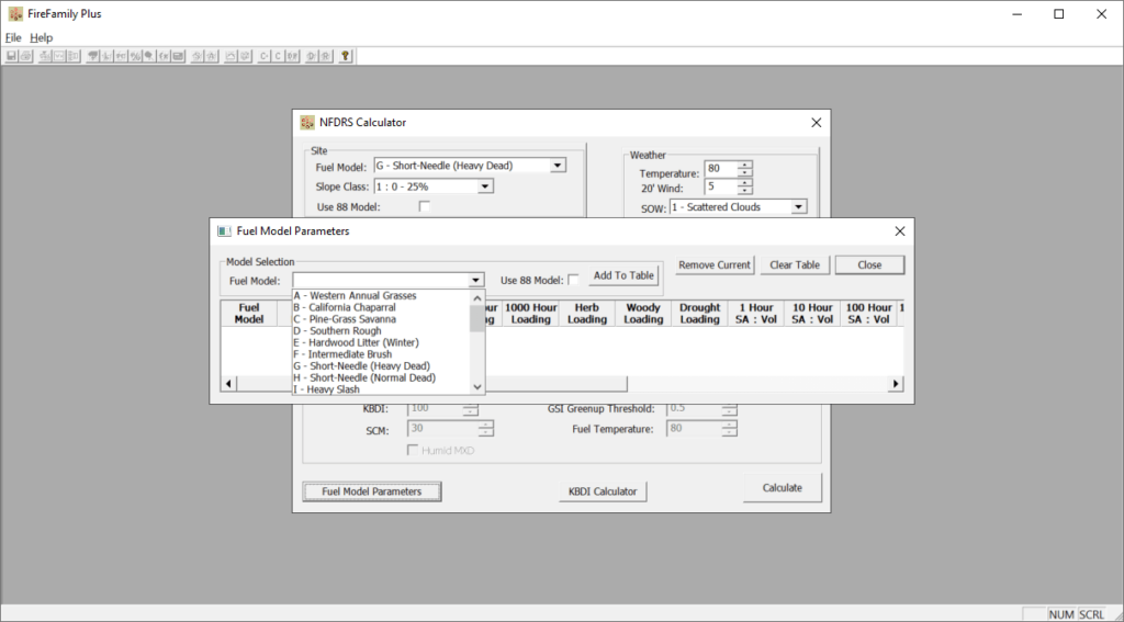
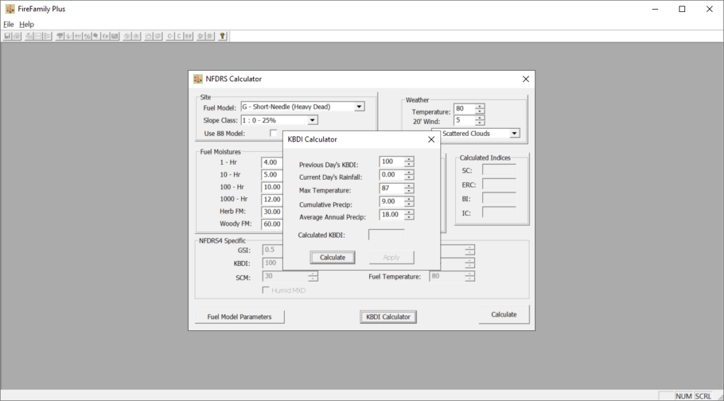
The application contains advanced instruments for evaluating the combustibility of various fuel types. You can adjust the ambient temperature and wind speed to match real world conditions. Moreover, there is a drop down menu for selecting the correct precipitation level.
Other solutions for assessing various natural hazards such as Hazus are available for download.
Fire danger analysis
Users can integrate weather information from RAWS stations, allowing for comprehensive estimation of surrounding conditions. It is possible to create spatial maps and visualizations of danger indices and other relevant data as well. This functionality is helpful for facilitating effective communications and decision making between individual fire managers.
Tools for analyzing historical trends and patterns are included. Combining all available climate information, you are able to predict future natural fires in a specific region with a high degree of accuracy.
Features
- free to download and use;
- allows fire managers estimate potential dangers based on various weather information;
- there are instruments for calculating fuel moistures using NFDRS guidelines;
- you can create spatial maps to analyze surrounding conditions;
- compatible with all modern versions of Windows.


