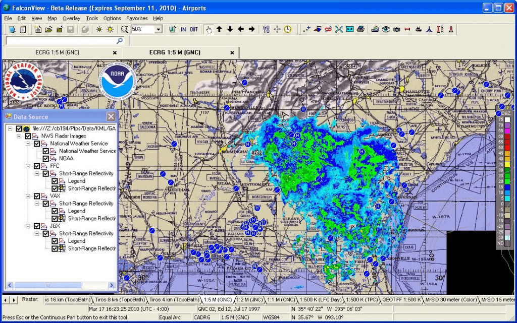
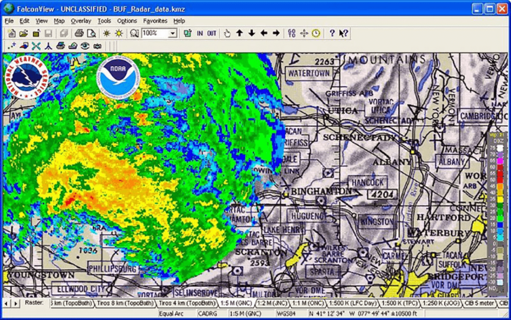
Using this geospatial software you can convert satellite imagery to digital maps. There are flexible measurement instruments for calculating distances.
FalconView
FalconView is a Windows program for advanced geospatial analysis. It allows users to render various map layers, including satellite photos, topographic layouts and custom overlays, creating a comprehensive picture of any area.
Visualization tools
You are able to import input images and automatically stitch them together. There is support for a wide range of additional data sources like spreadsheets and GIS files. An option to enhance satellite photos by applying various filters and color adjustments is provided as well.
Please note that FalconView is not available for personal use. Commercial organizations and U.S. government agencies can request a license on the official website.
Geospatial analysis
Like in MapInfo Professional, it is possible to measure a distance between two separate points and calculate an area of any region. Moreover, there are tools for coordinate transformation and visibility analysis. They are helpful for gaining deeper insights into the project.
Users can monitor and analyze the movement of objects on the map, including vehicles, aircraft and people in real time. Additionally, instruments for viewing historical data for the area to detect potential patterns and trends are available.
Features
- requires a license to download and use;
- allows you to create and analyze detailed geospatial maps;
- there is an option to automatically enhance source satellite images;
- powerful instruments for tracking object movements over time are included;
- compatible with modern versions of Windows.


