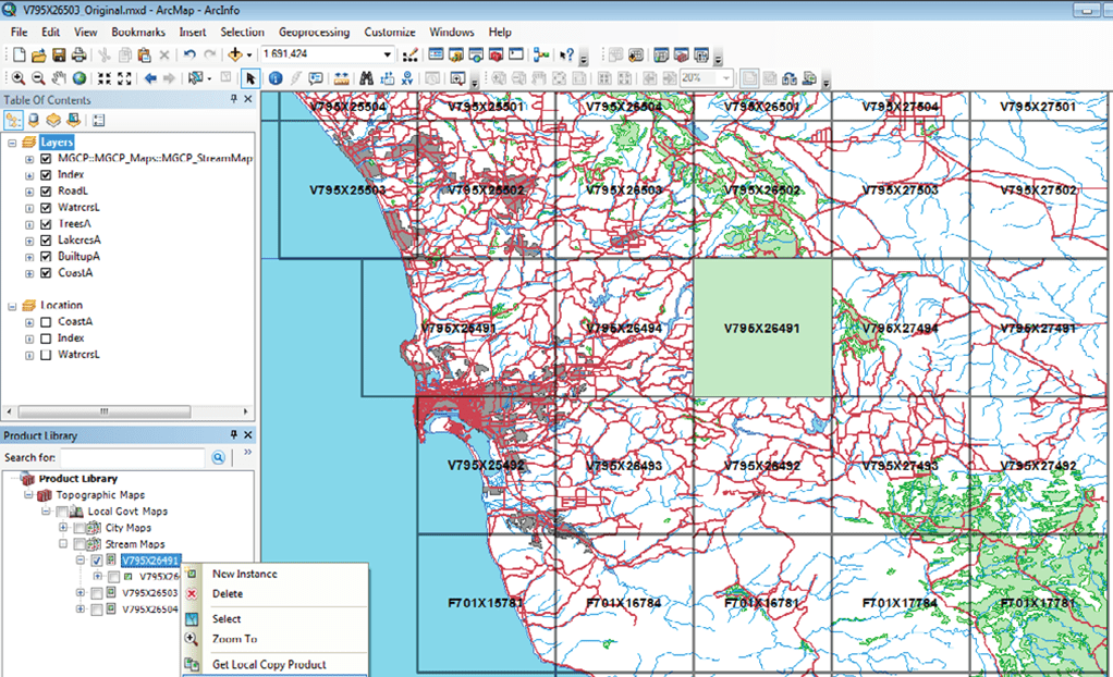
With the help of this specialized software you can create and edit detailed geographical maps. There is a shared work environment for cooperating on a project.
Esri Production Mapping
Esri Production Mapping is a Windows utility that allows users to generate maps based on geospatial data from a wide variety of GPS and GIS devices. Standardization instruments for ensuring that the project adheres to industry requirements are included.
Map creation
This application provides a tool set for producing geographical layouts. You can import data from portable devices or manually enter required values and coordinates. There is a large collection of standard map elements and symbols like roads, buildings, rivers, mountains, tunnels, farms, factories, etc. It is possible to resize and rotate individual components to better fit the project.
Please note that Esri Production Mapping is a paid app. There is no free trial version.
Advanced functions
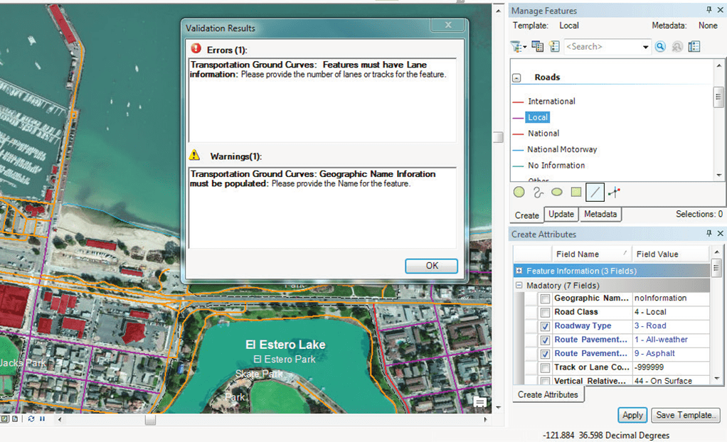
Users can create and save custom data management configurations to save time and ensure repeatability. Tools for validating the project and fixing common errors are available.
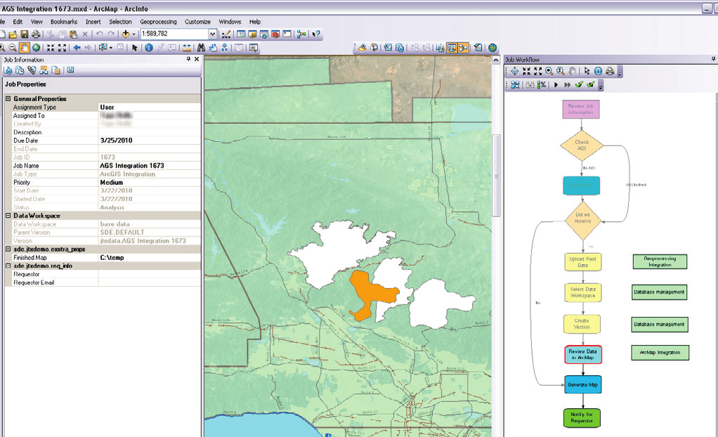
The program can be used together with the ArcGIS map editor for enhancing basic capabilities. Additionally, you are able to write and execute flexible scripts for automating repetitive operations.
Features
- requires a license to download and use;
- offers you tools for generating detailed maps based on GPS and GIS data;
- includes a library of standard geographical symbols and elements;
- supports integration with ArcGIS;
- it is possible to create automation scripts;
- compatible with all modern versions of Windows.


