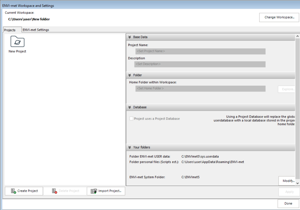
Using this advanced software solution, you can analyze microclimatic conditions in urban areas. Moreover, you have the option to determine evapotranspiration.
ENVI met
ENVI met is a 3D modeling program for Windows designed to simulate microclimatic processes. It delivers insights into the impact of environmental factors on urban design. This facilitates informed decision making in urban planning, green infrastructure development, and the formation of climate change strategies.
Design models
The software uses numerical algorithms to model intricate interactions. It allows for a thorough analysis of microclimatic conditions within urban areas. The main focus is on building heating and cooling as well as human thermal comfort. To conduct atmospheric research, you may try an application like WRF.
Creating a model starts with the selection of the appropriate climate input data. Subsequently, you delineate the domain by specifying parameters like size, resolution, and location of buildings and other urban elements. Various options are available, including land cover and vegetation type.
Simulation and analysis
When it comes to microscale analysis, the utility features a standard horizontal resolution ranging from 0.5 to 5 meter and a typical time frame spanning 24 to 48 hours. This level or flexibility empowers you to examine complex interactions at small scales.
It is possible to leverage the program for forecasting, analyzing, and visualizing the microclimate within cities, buildings, and green spaces. There are various apps for using your simulation data, encompassing building design, urban planning, climate change adaptation, and energy analysis.
Features
- free to download and use;
- compatible with modern Windows versions;
- allows you to simulate complex urban environments;
- you can analyze interactions of buildings and plants;
- there is support for calculation of temperatures.

