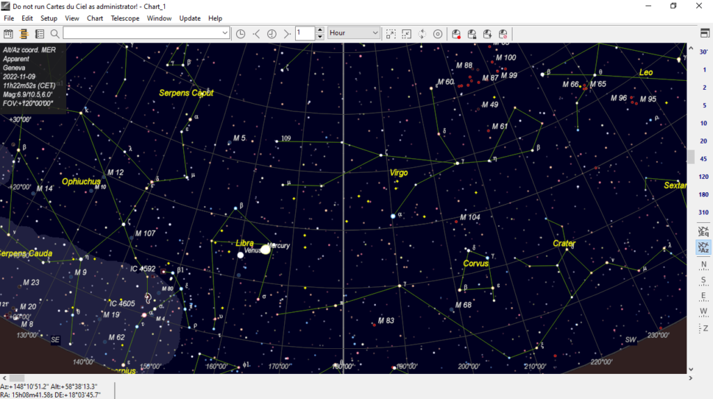
With this reliable software solution, users can view and edit sky maps. Moreover, they have the ability to run simulations of planets, comets and asteroids.
Cartes du Ciel
Cartes du Ciel is a comprehensive program for Windows that allows you to prepare sky maps for observation. What is more, It is possible to define the rules according to your needs.
Brief review
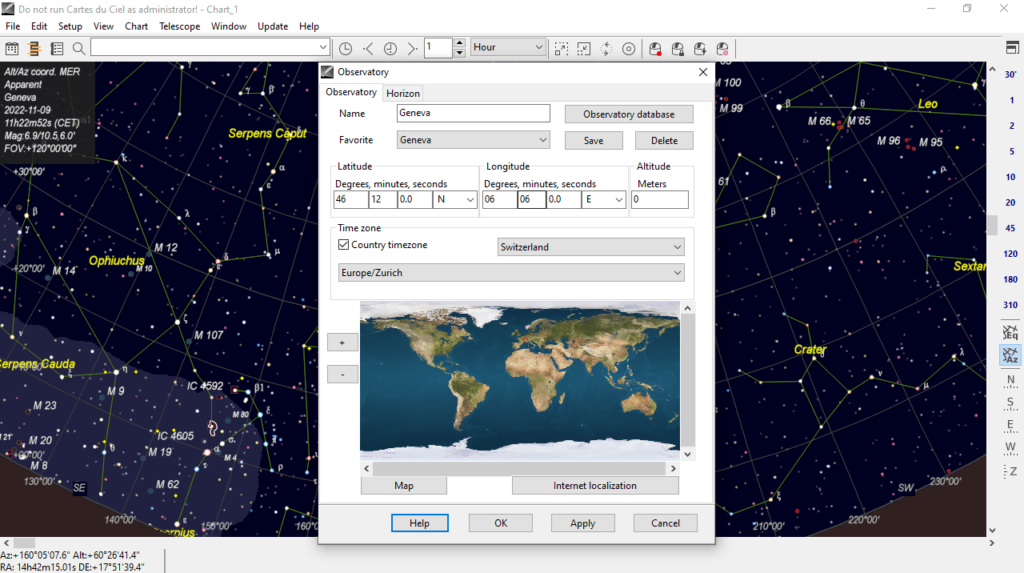
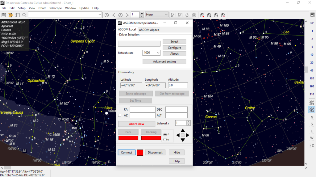
After launching the application, you can set up the observatory environment by assigning a location from the database, including the code, vicinity, coordinates, country name and time zone. It is necessary to mention that you have the ability to fill the local horizon with color and track an object before it rises. In addition, you may configure atmospheric refraction parameters such as pressure, temperature, humidity and troposphere lapse rate.
Operation
The graphical user interface is easy to work with, as you are able to navigate the sky and zoom and out using the mouse. You can edit observatory details, date and time settings, run simulations of planets, comets and asteroids, as well as enable animations and record them to file. Moreover, you have the option to jump to ecliptic, equatorial or galactic coordinates, mirror the image and rotate it left, right or by 180 degrees.
Additional functions
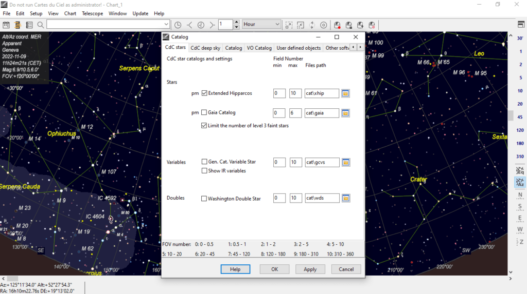
Other features of the software enables you to view a calendar of the selected location, identify variable stars and save an image in PNG, JPEG or BMP format. You also have the possibility to perform an advanced search, enable night vision mode, switch to full screen and generate charts. If you want to view and edit planetary recordings, you may use another tool called AutoStakkert.
Features
- free to download and use;
- compatible with modern Windows versions;
- gives you the ability to prepare sky maps for observation;
- it is possible to save image and generate custom charts;
- you can run simulations of planets, comets and asteroids.


