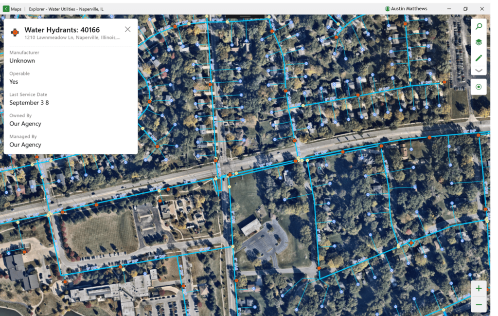
Thanks to this powerful tool, users can explore geographic information system files on a PC. There is support for adding text markings in several colors and styles.
ArcGIS Explorer
ArcGIS Explorer is a program for Windows that uses data from satellites and other kinds of imagery to deliver accurate maps for any place on Earth. It provides capabilities for creating custom projects that incorporate diverse content types such as images or video clips.
Setup and functionality
The installation process typically completes smoothly within a couple of minutes. Once deployed, you can launch the application and familiarize yourself with its features. It is worth noting that to ensure proper functionality, it may be necessary to reboot the system.
The main window is divided into several areas of interest, with the majority of space dedicated to the map view. On the left side pane, you can find the contents section. Here, it is possible to select opened documents and manage added elements, such as folders, links, or notes.
Editing and viewing
The software is designed to handle a diverse range of file types as locally imported data. Supported formats include raster, shapefiles, and geodatabases, as well as GPX, KMZ, or KML items. There are also features for three-dimensional display mode and access to online services.
Please note that there are multiple preset basemaps, offering you the flexibility to select the one that suits your needs or preferences. With options like aerial views, topography, or street maps, you have multiple mapping workflows. To use more advanced capabilities, you may try a tool called ArcGIS.
Features
- free to download and use;
- compatible with modern Windows versions;
- enables you to explore and visualize GIS data;
- you can switch between 2D and 3D map views;
- it is possible to add different markings.

