Using this app, you are able to design detailed maps. Additionally, you have the option to identify patterns, make predictions and answer cartography questions.
ArcGIS
ArcGIS is a geospatial program for Windows that supports data visualization, advanced analysis and maintenance in 2D, 3D and 4D. Thanks to this application, users are able to utilize information from various sources and in different formats.
Overview
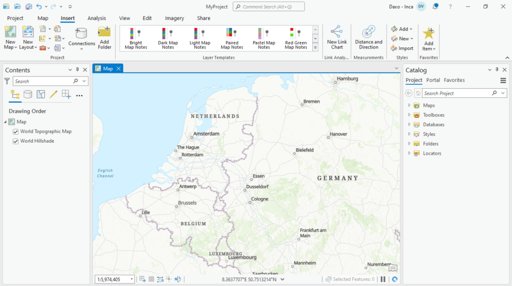
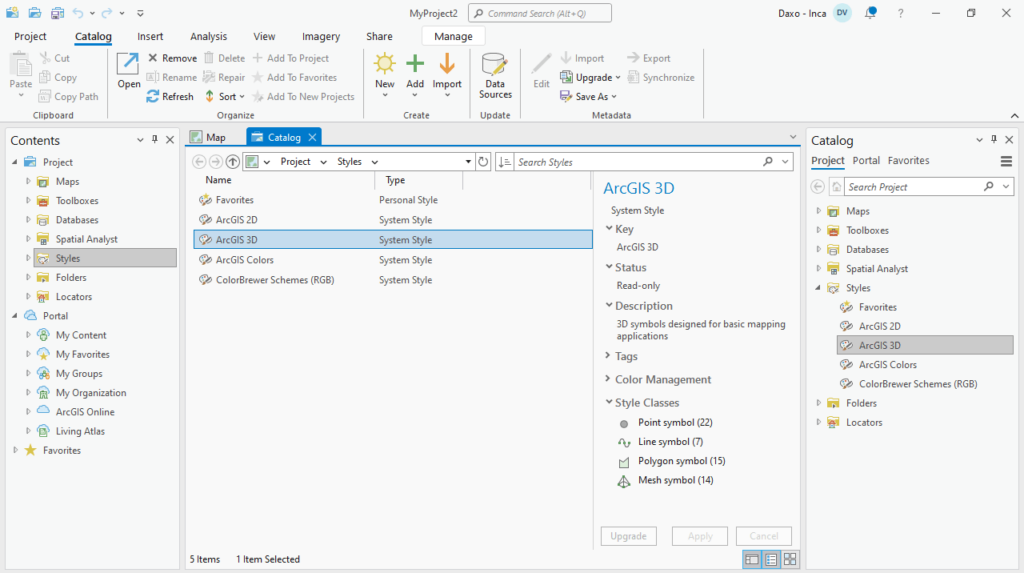
Since ArcGIS Pro is a ribbon-based utility, you can access most commands from the panel located at the top of the main window. It is necessary to note that more advanced or specialized functions may be found on dockable panes. You are able to store multiple items, such as maps, layouts tables and charts in a single project.
Data integration
The software allows you to combine data sources to make high-quality maps. You have the ability to use different scientific analytics tools to identify patterns, make predictions and answer questions. It is also possible to quickly share projects and information within your company, online or through mobile apps.
Visualization and analysis
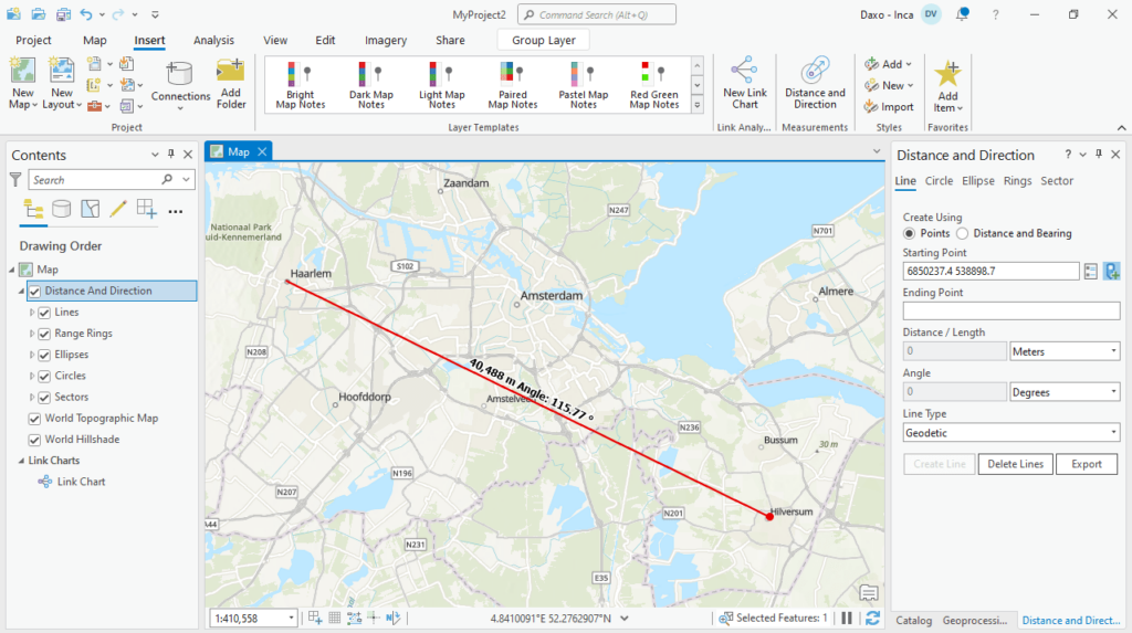
What is more, you have the option to display data in 2D and 3D simultaneously. In addition, you are provided with a wide range of data editing and context sensitive tools. This means you have the ability to perform interactive analysis, as well as automate work with Python.
Features
- free to download and use;
- compatible with modern Windows versions;
- gives you the ability to create detailed maps;
- it is possible to import data from different sources;
- provides a wide range of scientific analysis tools.


