With the help of this application users can visualize geospatial data on the desktop. There is support for various input formats like KML, shapefiles and GeoJSON.
ArcGIS Earth
ver. 2.2.1.0
800 Mb (downloads: 1)
Update date:
18.09.2024
Developer:
Esri, Inc.
Windows version:
Windows 10
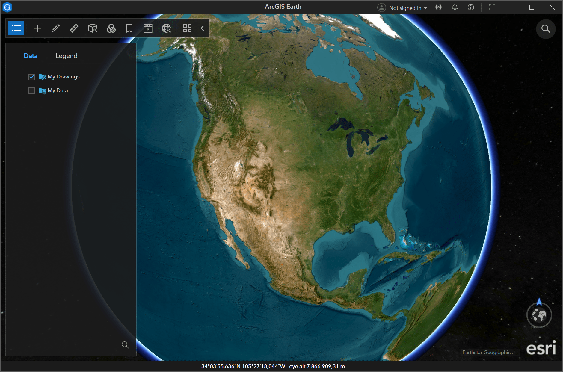
ArcGIS Earth is a Windows program that provides an interactive 3D experience for visualizing and evaluating geospatial information. You are able to render terrain, buildings and other objects in a realistic virtual environment. Additionally, there are multiple visual layers, including satellite imagery, streets and topographic maps to simplify data interpretation.
How to use
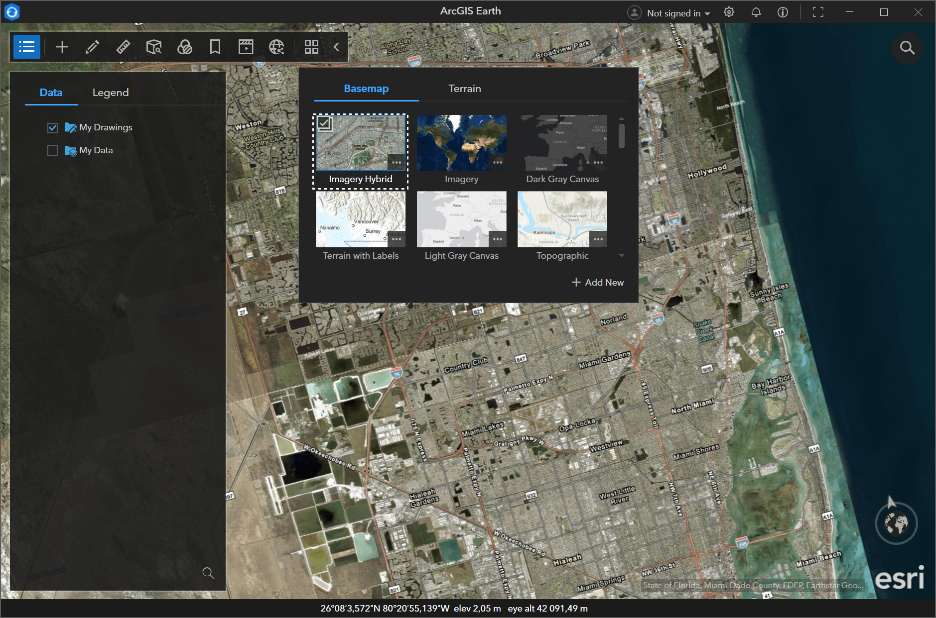
Similar to Google Earth, the main window contains a detailed 3D model of our planet. Users can zoom in and out to find the required location on the globe. High quality satellite photos are automatically obtained from the Earthstar Geographics online database. It is possible to switch individual map layers on and off depending on current needs.
You are able to quickly import and visualize geospatial data in several common formats. This functionality is beneficial for planning future events and building custom navigation routes on a global map.
Other capabilities
There are tools for connecting to real time feeds and services to access live information about weather patterns, traffic updates and emergency incidents. Moreover, users can measure distances, areas and elevation to facilitate detailed spatial analysis. Personal annotations may be added to the project as well.
Features
- free to download and use;
- helps you explore a 3D model of the Earth in a virtual environment;
- it is easy to toggle specific map layers to view the desired information;
- there are flexible instruments for measuring distances between separate points;
- compatible with modern versions of Windows.
800 Mb (downloads: 1)