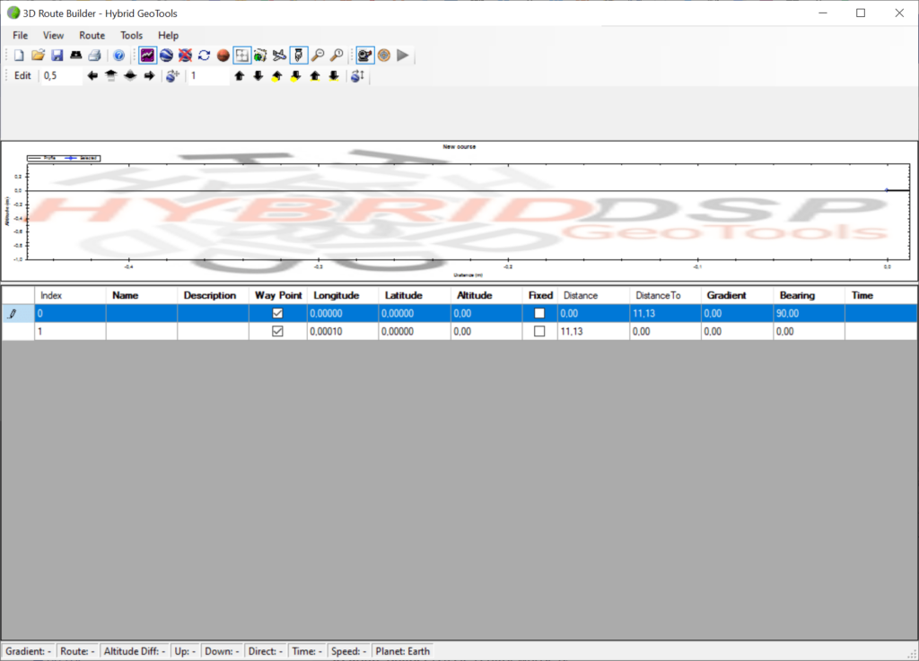
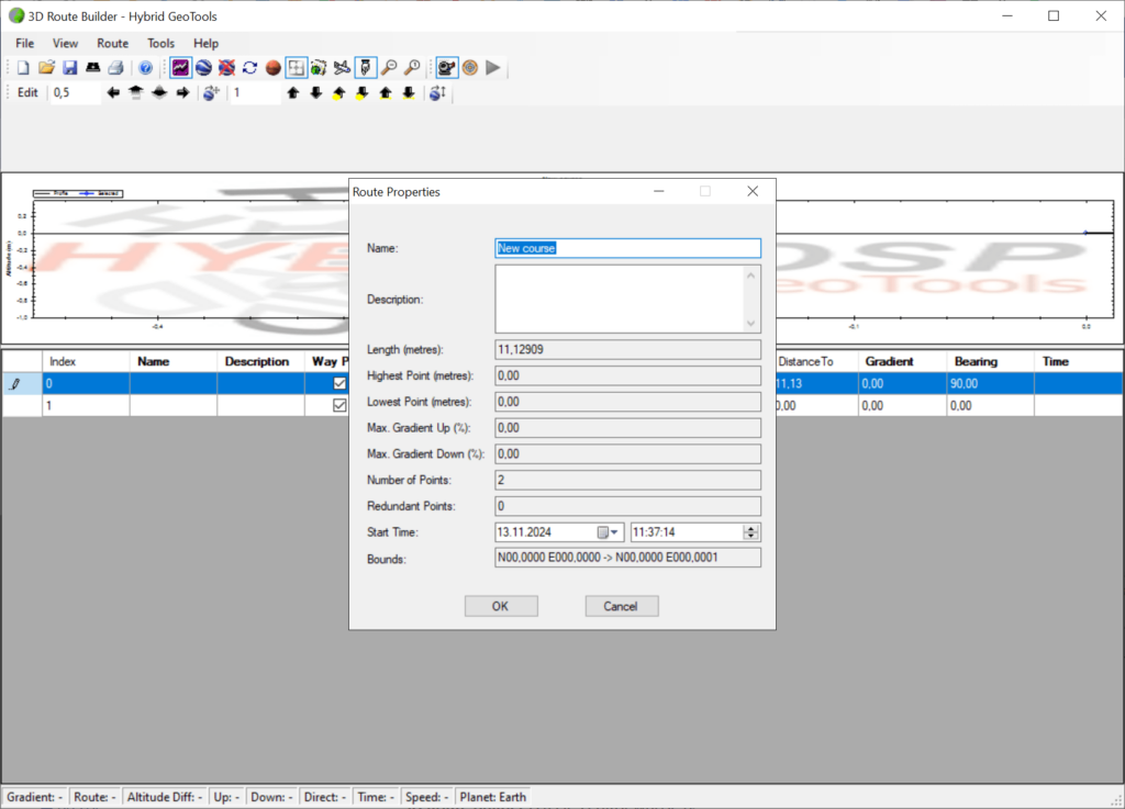
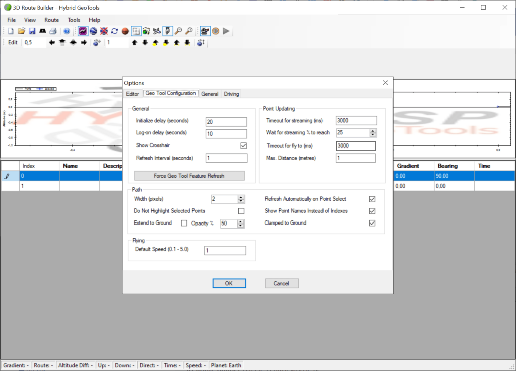
With the help of this application you can build, edit and analyze custom GPS routes. It is possible to visualize elevation profiles for careful planning.
3D Route Builder
3D Route Builder is a Windows software that enables outdoor enthusiasts, cyclists, runners and hikers to create routes based on GPS coordinates. There is support for external map sources like Google Earth.
Course plotting
Users can add a new waypoint by manually specifying its exact longitude, latitude and altitude. An option to automatically insert interpolated points is available, which is especially advantageous when planning lengthy trips.
Weather data from various online services may be integrated with the program, providing additional planning insights. Moreover, there are instruments to generate a detailed elevation graph. This allows you to better understand the resulting route by analyzing:
- Inclines;
- Declines;
- Extreme altitude changes.
Export capabilities
You are able to save resulting projects in a wide range of common formats, including KML, KMZ and CSV. Output files can be uploaded directly to navigation devices from Garmin and other manufacturers. It is possible to share courses with other people through various online platforms as well.
Features
- free to download and use;
- intended to help you construct navigation routes on a virtual map;
- there are tools for manually adding individual points or importing data from GPS devices;
- users can export resulting courses to different formats;
- it is easy to generate an exact elevation profile;
- compatible with all modern versions of Windows.


